Transport Functions
Rail
Road
Hub Profile
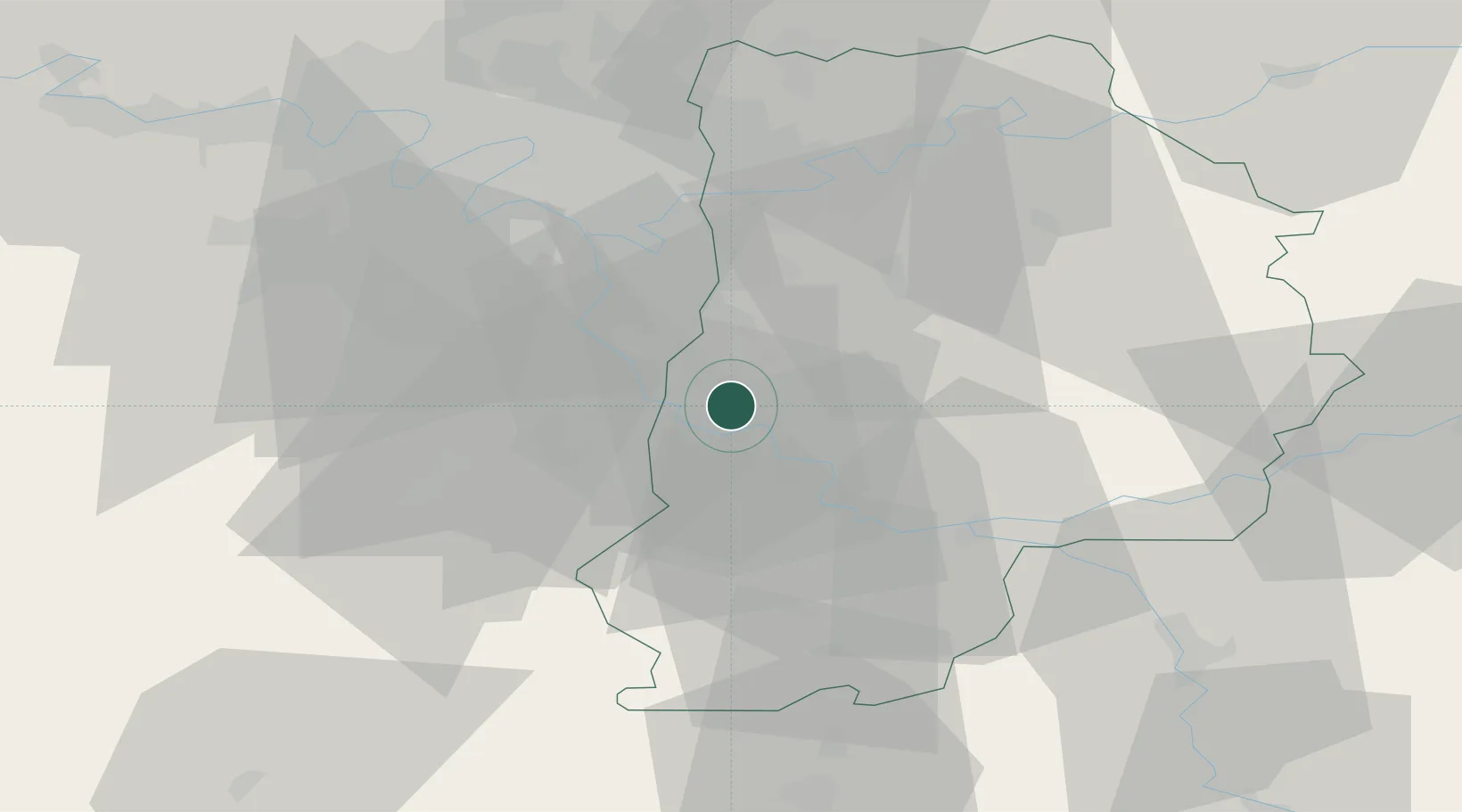
Place type
Populated place
Region
Île-de-France
Population
8,275
Time zone
Europe/Paris
Elevation
80 m
Location
Nearby Logistics Neighbours
Cities
- 1Cesson1 km
- 2Savigny-le-Temple3 km
- 3Melun5 km
- 4Vaux-le-Pénil5 km
- 5Seine-Port5 km
Ports
- 1Port Of Rouen150 km
- 2Dieppe188 km
- 3Le Treport190 km
- 4Saint-Valery-Sur-Somme194 km
- 5Honfleur199 km
Airports
Trade Zones
DatabookThe Record of Consolidated Knowledge
France beyond logistics?