Transport Functions
Rail
Road
Multimodal
Hub Profile
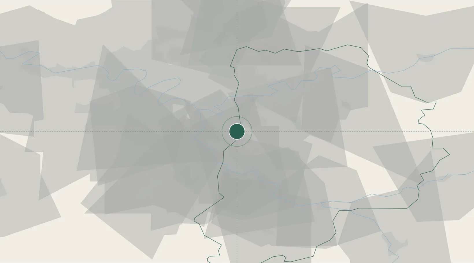
Place type
Populated place
Region
Île-de-France
Population
2,881
Time zone
Europe/Paris
Elevation
89 m
Location
Nearby Logistics Neighbours
Cities
- 1Boussy-Saint-Antoine5 km
- 2Brunoy6 km
- 3Pontault-Combault8 km
- 4Limeil-Brévannes8 km
- 5Ormesson-sur-Marne8 km
Ports
- 1Port Of Rouen137 km
- 2Dieppe174 km
- 3Le Treport174 km
- 4Saint-Valery-Sur-Somme177 km
- 5Honfleur189 km
Airports
Trade Zones
DatabookThe Record of Consolidated Knowledge
France beyond logistics?