UN/LOCODE hub · France
FRYAI

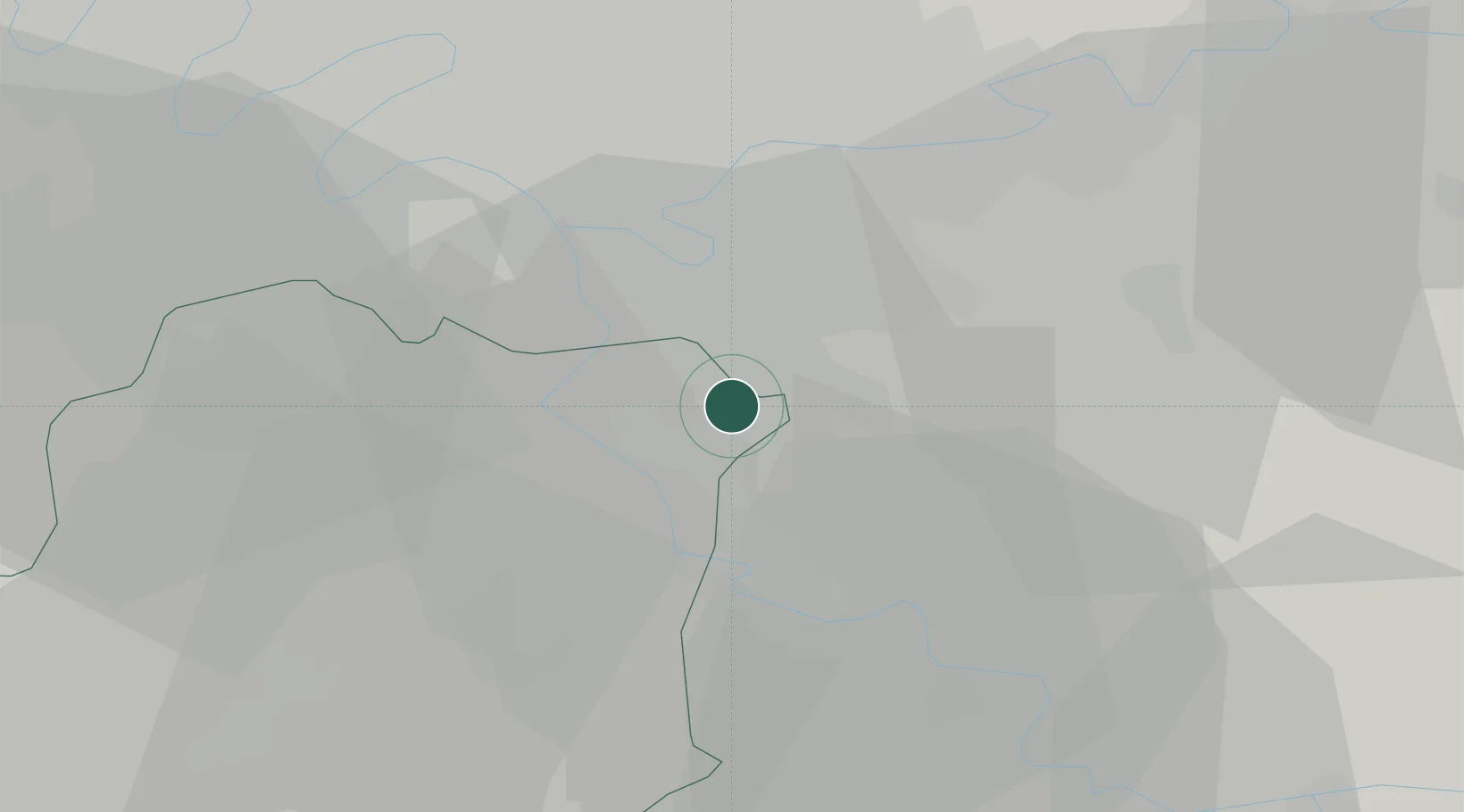
Boussy-Saint-Antoine

48.6833°, 2.5333°
6,786
Population
2
Transport functions

Transport Functions

Rail
Road
UN/LOCODE

Hub Profile

Place type
Populated place
GeoNames
Region
Île-de-France
GeoNames
Population
6,786
GeoNames
Time zone
Europe/Paris
GeoNames
Elevation
58 m
GeoNames

Location

Location of FRYAI
Natural Earth 10m (public domain) · Île-de-France · FRYAI · 48.68, 2.53GoogleOSMYandex

Nearby Logistics Neighbours

Cities
  1. 1Brunoy3 km
  2. 2Servon5 km
  3. 3Tigery6 km
  4. 4Limeil-Brévannes7 km
  5. 5Soisy-sur-Seine7 km
Nearest neighbours — logibook spatial index (haversine) over the source coordinates
Ports
  1. 1Port Of Rouen137 km
  2. 2Dieppe174 km
  3. 3Le Treport176 km
  4. 4Saint-Valery-Sur-Somme180 km
  5. 5Honfleur188 km
Nearest neighbours — logibook spatial index (haversine) over the source coordinates
Airports
  1. 1Paris-Orly Airport12 km
  2. 2Melun-Villaroche Airfield13 km
  3. 3Vélizy-Villacoublay Air Base26 km
  4. 4Paris-Le Bourget International Airport32 km
  5. 5Toussus-le-Noble Airport32 km
Nearest neighbours — logibook spatial index (haversine) over the source coordinates
Trade Zones
  1. 1ZFU Epinay-sous-Sénart3 km
  2. 2ZFU Grigny Viry-Châtillon12 km
  3. 3ZFU Corbeil-Evry12 km
  4. 4ZFU Champigny-sur-Marne et Chennevières-sur-Marne13 km
  5. 5ZFU Choisy-le-Roi et Orly13 km
Nearest neighbours — logibook spatial index (haversine) over the source coordinates
DatabookThe Record of Consolidated Knowledge
France beyond logistics?
Browse databook

All Sources

LocationsUN/LOCODE
UN/LOCODE — free
LocationsGeoNames
CC BY 4.0
Portsthe NGA World Port Index
Public domain (US gov)
AirportsOurAirports
Public domain
Trade Zonesthe World Bank SEZ database
CC BY 4.0
Trade ZonesOpen Zone Map
CC BY
← France locations