UN/LOCODE hub · France
FRGEB
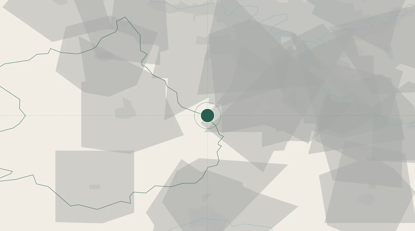
Garancières-en-Beauce
48.4333°, 1.9167°
213
Population
1
Transport functions
Transport Functions
Multimodal
Hub Profile
Place type
Populated place
Region
Centre-Val de Loire
Population
213
Time zone
Europe/Paris
Elevation
150 m
Location
Nearby Logistics Neighbours
Cities
- 1Bretonville9 km
- 2Sonchamp15 km
- 3Saint-Cyr-sous-Dourdan17 km
- 4Étampes17 km
- 5Umpeau18 km
Ports
- 1Port Of Rouen129 km
- 2Honfleur166 km
- 3Deauville170 km
- 4Port Of Le Havre176 km
- 5Dieppe177 km
Airports
- 1Toussus-le-Noble Airport38 km
- 2Vélizy-Villacoublay Air Base43 km
- 3Paris-Orly Airport47 km
- 4Orléans-Bricy (BA 123) Air Base51 km
- 5Châteaudun Airfield58 km
Trade Zones
- 1ZFU Trappes39 km
- 2ZFU Corbeil-Evry42 km
- 3ZFU Grigny Viry-Châtillon43 km
- 4ZFU Epinay-sous-Sénart51 km
- 5ZFU Choisy-le-Roi et Orly52 km
DatabookThe Record of Consolidated Knowledge
France beyond logistics?