UN/LOCODE hub · France
FRC3S
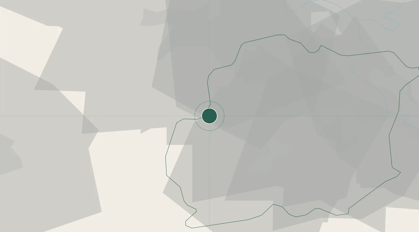
Saint-Cyr-sous-Dourdan
48.5667°, 2.0333°
1,005
Population
1
Transport functions
Transport Functions
Multimodal
Hub Profile
Place type
Populated place
Region
Île-de-France
Population
1,005
Time zone
Europe/Paris
Elevation
82 m
Location
Nearby Logistics Neighbours
Cities
- 1Bonnelles6 km
- 2Les Molières11 km
- 3Sonchamp12 km
- 4Bruyères-le-Châtel13 km
- 5Égly14 km
Ports
- 1Port Of Rouen121 km
- 2Honfleur163 km
- 3Dieppe167 km
- 4Deauville168 km
- 5Port Of Le Havre173 km
Airports
Trade Zones
- 1ZFU Trappes23 km
- 2ZFU Grigny Viry-Châtillon28 km
- 3ZFU Corbeil-Evry29 km
- 4ZFU Choisy-le-Roi et Orly35 km
- 5ZFU Vitry-sur-Seine35 km
DatabookThe Record of Consolidated Knowledge
France beyond logistics?