Transport Functions
Multimodal
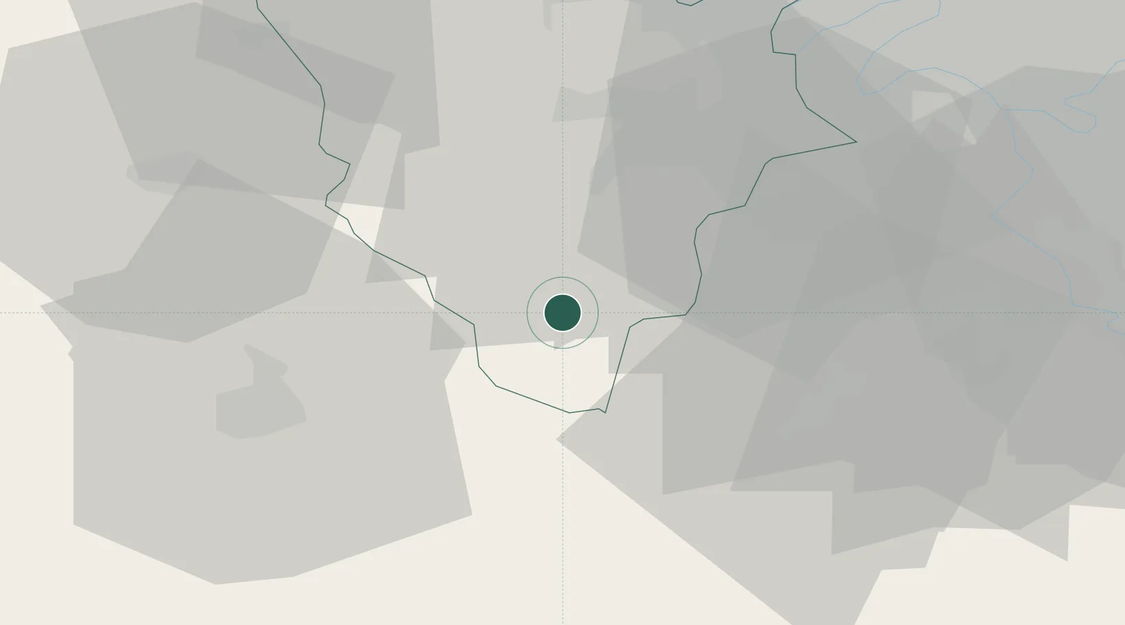
Hub Profile
Place type
Populated place
Region
Île-de-France
Population
1,625
Time zone
Europe/Paris
Elevation
139 m
Location
Nearby Logistics Neighbours
Cities
- 1Bretonville8 km
- 2Rambouillet10 km
- 3Gazeran10 km
- 4Saint-Cyr-sous-Dourdan12 km
- 5Bonnelles14 km
Ports
- 1Port Of Rouen114 km
- 2Honfleur153 km
- 3Deauville158 km
- 4Dieppe162 km
- 5Port Of Le Havre163 km
Airports
Trade Zones
- 1ZFU Trappes25 km
- 2ZFU Grigny Viry-Châtillon39 km
- 3ZFU Dreux et Sainte-Gemme-Moronval41 km
- 4ZFU Corbeil-Evry42 km
- 5ZFU Vitry-sur-Seine45 km
DatabookThe Record of Consolidated Knowledge
France beyond logistics?