Transport Functions
Port
Road
Hub Profile
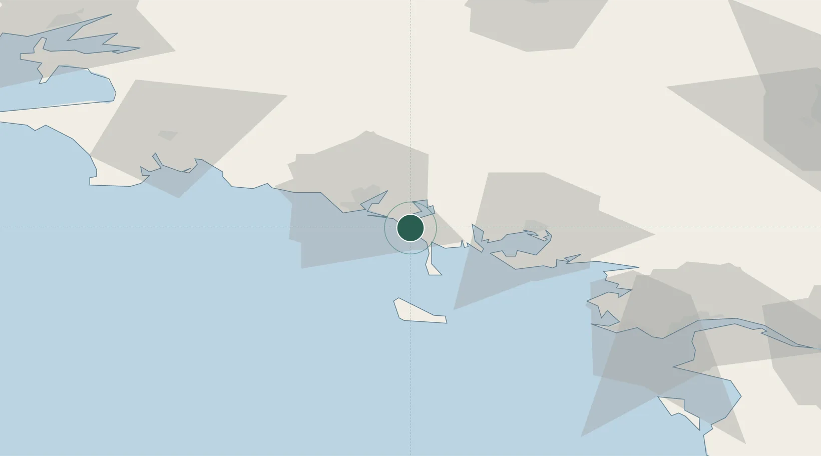
Place type
Populated place
Region
Brittany
Population
2,068
Time zone
Europe/Paris
Elevation
17 m
Location
Nearby Logistics Neighbours
Cities
- 1Sainte-Hélène7 km
- 2Locoal-Mendon11 km
- 3Carnac12 km
- 4Locmiquélic14 km
- 5Port-Louis14 km
Ports
- 1Lorient16 km
- 2Concarneau59 km
- 3St Nazaire86 km
- 4Montoir89 km
- 5Donges94 km
Airports
Trade Zones
- 1ZFU Saint-Nazaire81 km
- 2ZFU Nantes et Saint-Herblain122 km
- 3ZFU Angers196 km
- 4ZFU La Rochelle224 km
- 5ZFU Cherbourg-Octeville248 km
DatabookThe Record of Consolidated Knowledge
France beyond logistics?