Transport Functions
Road
Multimodal
Hub Profile
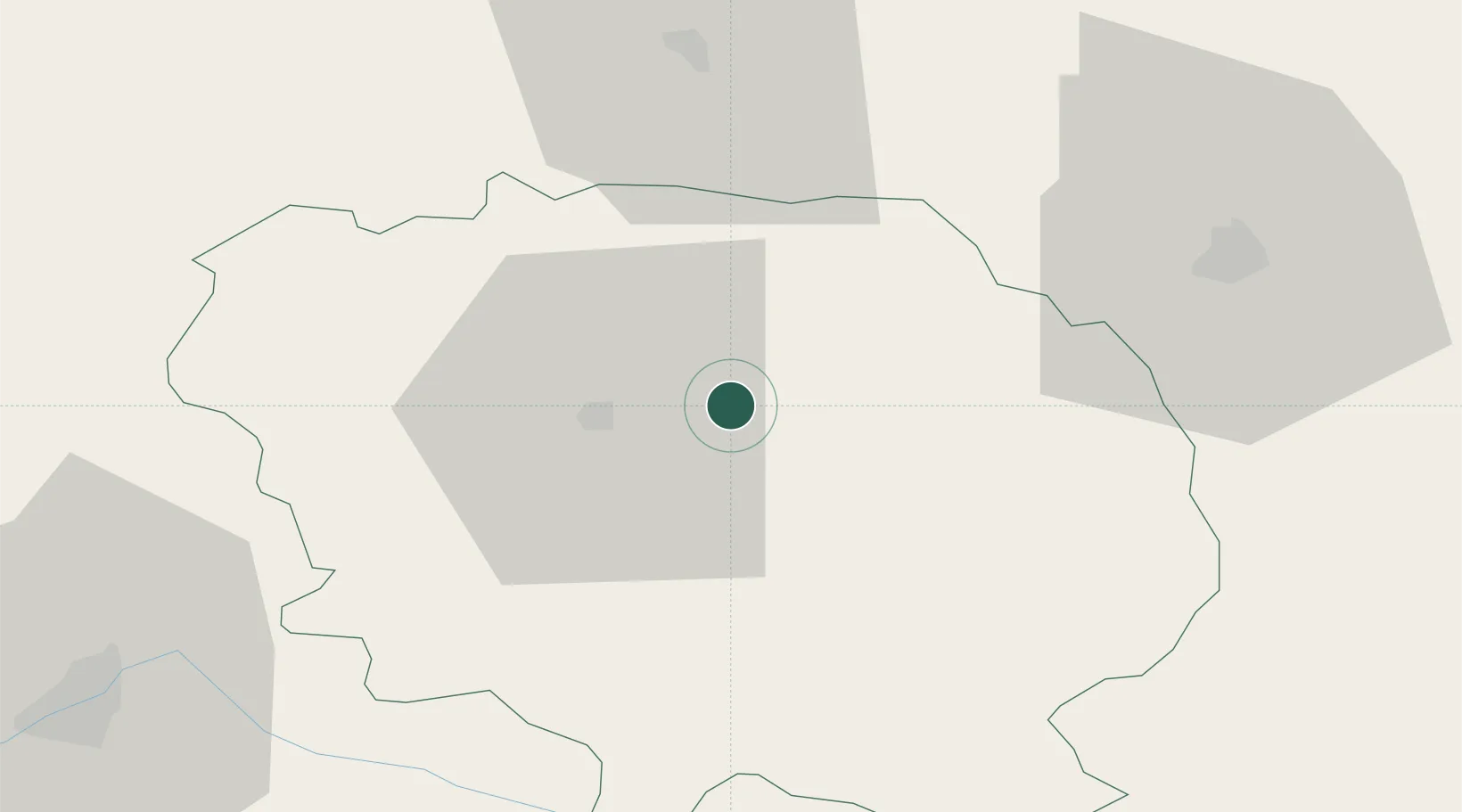
Place type
Populated place
Region
Nouvelle-Aquitaine
Time zone
Europe/Paris
Elevation
519 m
Location
Nearby Logistics Neighbours
Cities
- 1Busseau-sur-Creuse8 km
- 2Sainte-Feyre11 km
- 3Ahun11 km
- 4Guéret13 km
- 5Chéniers24 km
Ports
- 1Tonnay Charente228 km
- 2Rochefort232 km
- 3Ambes238 km
- 4Blaye240 km
- 5Pauillac242 km
Airports
- 1Montluçon-Guéret Airport26 km
- 2Limoges Airport75 km
- 3Châteauroux Déols airport79 km
- 4Clermont-Ferrand Auvergne airport98 km
- 5Bourges airport101 km
Trade Zones
- 1ZFU Clermont-Ferrand92 km
- 2ZFU Bourges102 km
- 3ZFU Blois166 km
- 4ZFU Orléans189 km
- 5ZFU Saint-Etienne195 km
DatabookThe Record of Consolidated Knowledge
France beyond logistics?