Transport Functions
Rail
Road
Hub Profile
Place type
Populated place
Region
Nouvelle-Aquitaine
Time zone
Europe/Paris
Elevation
410 m
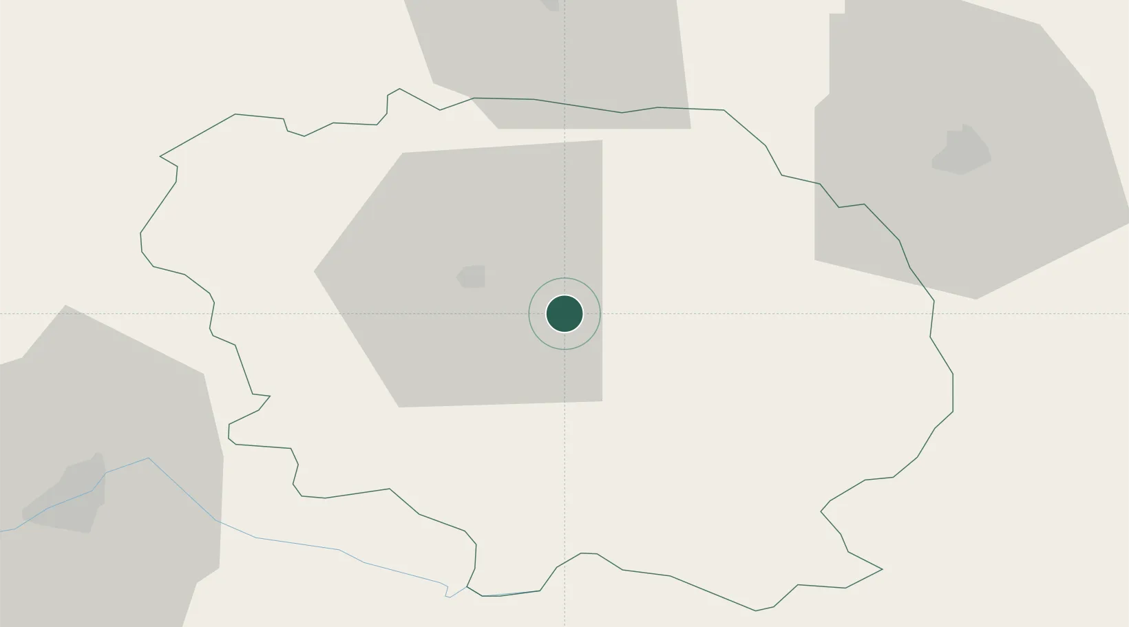
Location
Nearby Logistics Neighbours
Cities
- 1Ahun5 km
- 2Les Forgettes8 km
- 3Sainte-Feyre8 km
- 4Guéret13 km
- 5Aubusson21 km
Ports
- 1Tonnay Charente226 km
- 2Rochefort230 km
- 3Ambes233 km
- 4Blaye236 km
- 5Pauillac238 km
Airports
- 1Montluçon-Guéret Airport29 km
- 2Limoges Airport71 km
- 3Châteauroux Déols airport86 km
- 4Clermont-Ferrand Auvergne airport96 km
- 5Vichy-Charmeil Airport107 km
Trade Zones
- 1ZFU Clermont-Ferrand90 km
- 2ZFU Bourges110 km
- 3ZFU Blois173 km
- 4ZFU Saint-Etienne193 km
- 5ZFU Orléans196 km
DatabookThe Record of Consolidated Knowledge
France beyond logistics?