Transport Functions
Rail
Road
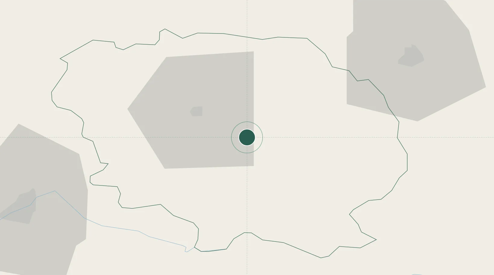
Hub Profile
Place type
Populated place
Region
Nouvelle-Aquitaine
Population
1,583
Time zone
Europe/Paris
Elevation
453 m
Location
Nearby Logistics Neighbours
Cities
- 1Busseau-sur-Creuse5 km
- 2Les Forgettes11 km
- 3Sainte-Feyre12 km
- 4Aubusson17 km
- 5Guéret17 km
Ports
- 1Tonnay Charente228 km
- 2Rochefort232 km
- 3Ambes234 km
- 4Blaye236 km
- 5Pauillac239 km
Airports
- 1Montluçon-Guéret Airport29 km
- 2Limoges Airport72 km
- 3Châteauroux Déols airport90 km
- 4Clermont-Ferrand Auvergne airport93 km
- 5Vichy-Charmeil Airport105 km
Trade Zones
- 1ZFU Clermont-Ferrand86 km
- 2ZFU Bourges113 km
- 3ZFU Blois177 km
- 4ZFU Saint-Etienne189 km
- 5ZFU Orléans200 km
DatabookThe Record of Consolidated Knowledge
France beyond logistics?