Transport Functions
Rail
Road
Multimodal
Hub Profile
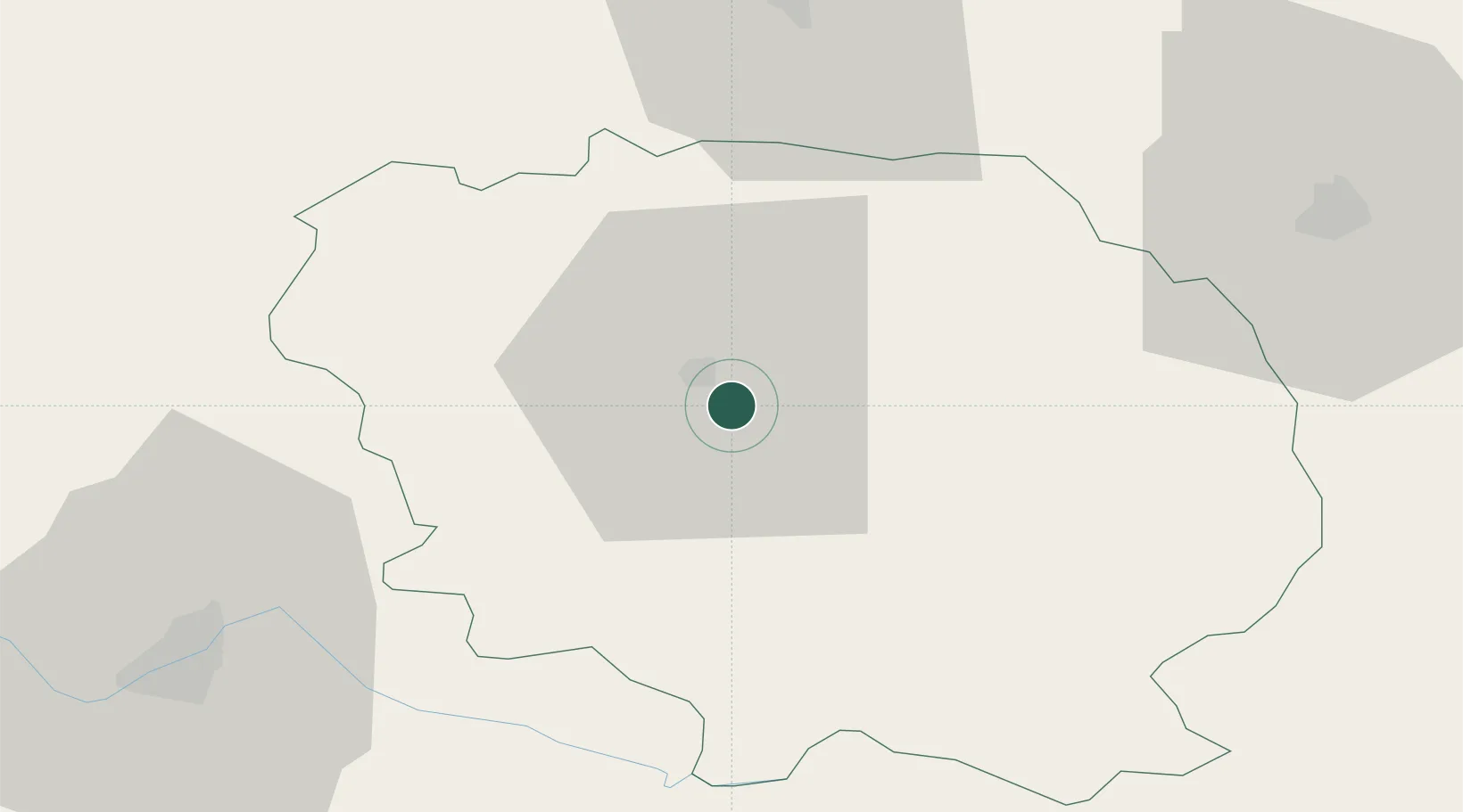
Place type
Populated place
Region
Nouvelle-Aquitaine
Population
2,328
Time zone
Europe/Paris
Elevation
450 m
Location
Nearby Logistics Neighbours
Cities
- 1Guéret5 km
- 2Busseau-sur-Creuse8 km
- 3Les Forgettes11 km
- 4Ahun12 km
- 5Bourganeuf24 km
Ports
- 1Tonnay Charente219 km
- 2Rochefort222 km
- 3Ambes228 km
- 4Blaye230 km
- 5Pauillac232 km
Airports
- 1Montluçon-Guéret Airport36 km
- 2Limoges Airport64 km
- 3Châteauroux Déols airport82 km
- 4Clermont-Ferrand Auvergne airport104 km
- 5Bourges airport109 km
Trade Zones
- 1ZFU Clermont-Ferrand98 km
- 2ZFU Bourges110 km
- 3ZFU Blois168 km
- 4ZFU Orléans194 km
- 5Port de Bordeaux235 km
DatabookThe Record of Consolidated Knowledge
France beyond logistics?