Large airport · France
Clermont-Ferrand Auvergne airportLFLC
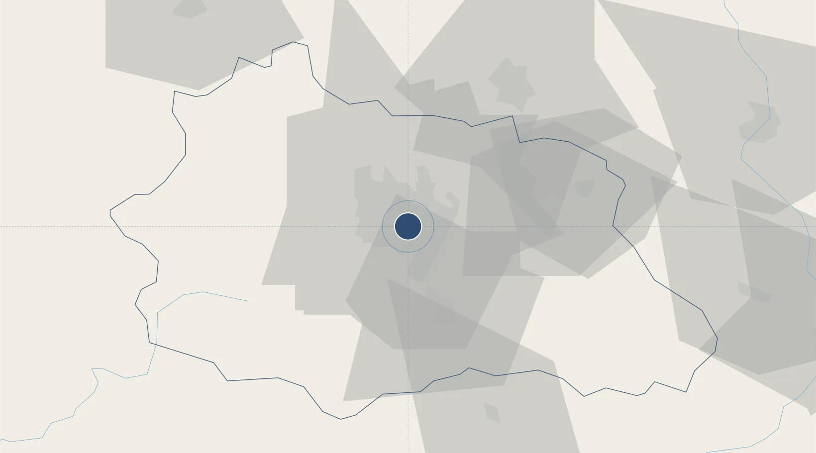
45.7867°, 3.1692°
9,885 ft
Longest runway
3
Runways
1,090 ft
Elevation
Runway & Layout

Radio Frequencies
ATIS
136.4 MHz
CLERMONT ATIS
TWR
118.625 MHz
CLERMONT TWR
GND
121.95 MHz
CLERMONT GND
APP
119.375 MHz
CLERMONT APP
APP
122.225 MHz
CLERMONT APP
FIS
122.225 MHz
CLERMONT INFO
Navaids
CFA VOR-DME Clermont 114.35 MHz
Runways · 3
| Runway | Dimensions | Surface | True heading | Lit |
|---|---|---|---|---|
| 08/26 | 9,885 × 148ft | Asphalt | 082° | ✓ |
| 08L/26R | 2,953 × 161ft | Grass - Herbe | 082° | — |
| 01/19 | 2,313 × 197ft | Grass - Herbe | 008° | — |
Airport Specifications
IATA code
CFE
ICAO code
LFLC
Airport class
Large airport
Scheduled service
Yes
Runway surface
Asphalt
Served city
Clermont-Ferrand
Location
Nearby Logistics Neighbours
Airports
Cities
- 1Aulnat2 km
- 2Gerzat5 km
- 3Pont-du-Château5 km
- 4Le Cendre6 km
- 5Pérignat-lès-Sarliève7 km
Ports
- 1Sete269 km
- 2Fos296 km
- 3Port Saint Louis Du Rhone297 km
- 4Ambes301 km
- 5Port-de-Bouc302 km
Trade Zones
- 1ZFU Clermont-Ferrand7 km
- 2ZFU Saint-Etienne97 km
- 3ZFU Lyon 9e127 km
- 4ZFU Vénissieux131 km
- 5ZFU Rillieux-la-Pape131 km
DatabookThe Record of Consolidated Knowledge
France beyond logistics?