Transport Functions
Multimodal
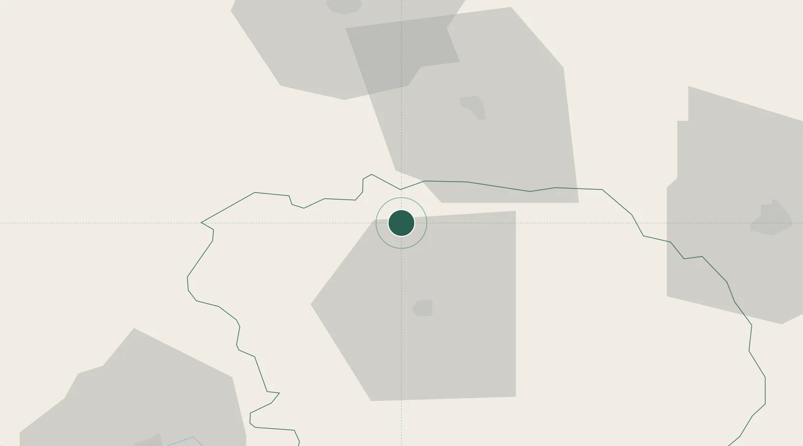
Hub Profile
Place type
Populated place
Region
Nouvelle-Aquitaine
Population
598
Time zone
Europe/Paris
Elevation
273 m
Location
Nearby Logistics Neighbours
Cities
- 1La Forêt-du-Temple9 km
- 2Dun-le-Palestel14 km
- 3Guéret21 km
- 4Les Forgettes24 km
- 5Mouhers24 km
Ports
- 1Tonnay Charente216 km
- 2Rochefort219 km
- 3La Rochelle231 km
- 4La Pallice235 km
- 5Ambes236 km
Airports
- 1Montluçon-Guéret Airport43 km
- 2Châteauroux Déols airport57 km
- 3Limoges Airport74 km
- 4Bourges airport89 km
- 5Avord (BA 702) Air Base99 km
Trade Zones
- 1ZFU Bourges89 km
- 2ZFU Clermont-Ferrand115 km
- 3ZFU Blois143 km
- 4ZFU Orléans169 km
- 5ZFU Le Mans223 km
DatabookThe Record of Consolidated Knowledge
France beyond logistics?