Economic Revitalization Project · France
ZFU Saint-Etienne Active
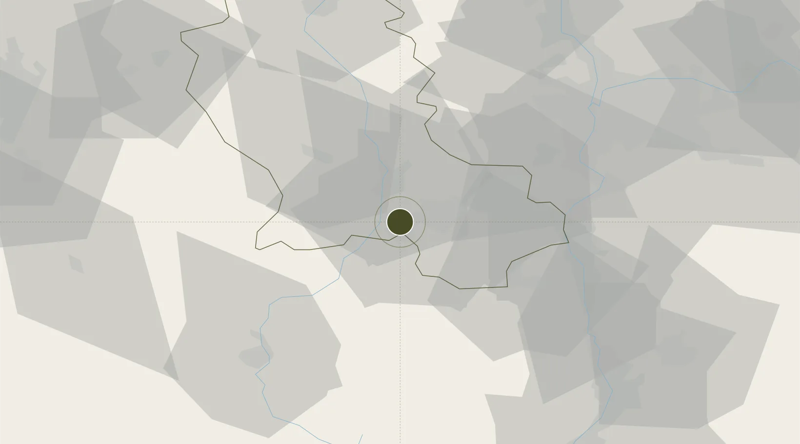
45.4241°, 4.2963°
101 ha
Zone area
228.0 km
Nearest port
13.0 km
Nearest airport
Gateway access
Zone profile
Zone type
Economic Revitalization Project
Region
Loire
Status
Active
Management
Public
Operator
Ville de Saint-Etienne
Legal framework
Décret no 65-939 du 8 novembre 1965, Décret du 9 Octobre 2008
Location
Nearby Logistics Neighbours
Ports
- 1Fos228 km
- 2Sete230 km
- 3Port Saint Louis Du Rhone231 km
- 4Port-de-Bouc232 km
- 5Marseille249 km
Airports
- 1Saint-Étienne-Bouthéon Airport13 km
- 2Le Puy-Loudes Airfield57 km
- 3Lyon Bron Airport61 km
- 4Lyon Saint-Exupéry Airport70 km
- 5Roanne-Renaison Airport74 km
Cities
- 1La Ricamarie6 km
- 2Chateaucreux/Saint-Etienne7 km
- 3Saint-Étienne8 km
- 4Lussan10 km
- 5Saint-Just-Malmont10 km
Trade Zones
- 1ZFU Vénissieux53 km
- 2ZFU Lyon 9e56 km
- 3ZFU Rillieux-la-Pape63 km
- 4ZFU Vaulx-en-Velin63 km
- 5ZFU Valence70 km
DatabookThe Record of Consolidated Knowledge
France beyond logistics?