UN/LOCODE hub · France
FRFCP
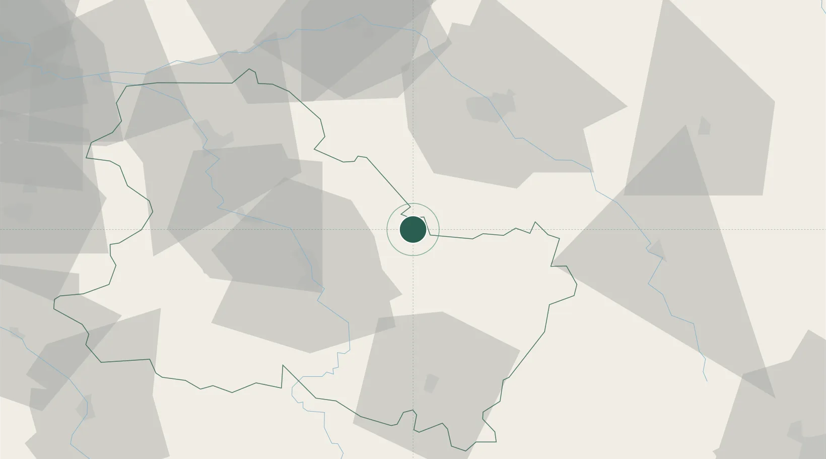
Flogny-la-Chapelle
47.9500°, 3.8667°
1,158
Population
2
Transport functions
Transport Functions
Road
Multimodal
Hub Profile
Place type
Populated place
Region
Bourgogne
Population
1,158
Time zone
Europe/Paris
Elevation
127 m
Location
Nearby Logistics Neighbours
Ports
- 1Port Of Rouen265 km
- 2Saint-Valery-Sur-Somme298 km
- 3Le Treport298 km
- 4Dieppe300 km
- 5Honfleur314 km
Airports
- 1Auxerre Branches airport30 km
- 2Troyes-Barberey Airport43 km
- 3Chalons Vatry airport95 km
- 4Saint-Dizier – Robinson Air Base108 km
- 5Melun-Villaroche Airfield115 km
Trade Zones
DatabookThe Record of Consolidated Knowledge
France beyond logistics?