Transport Functions
Multimodal
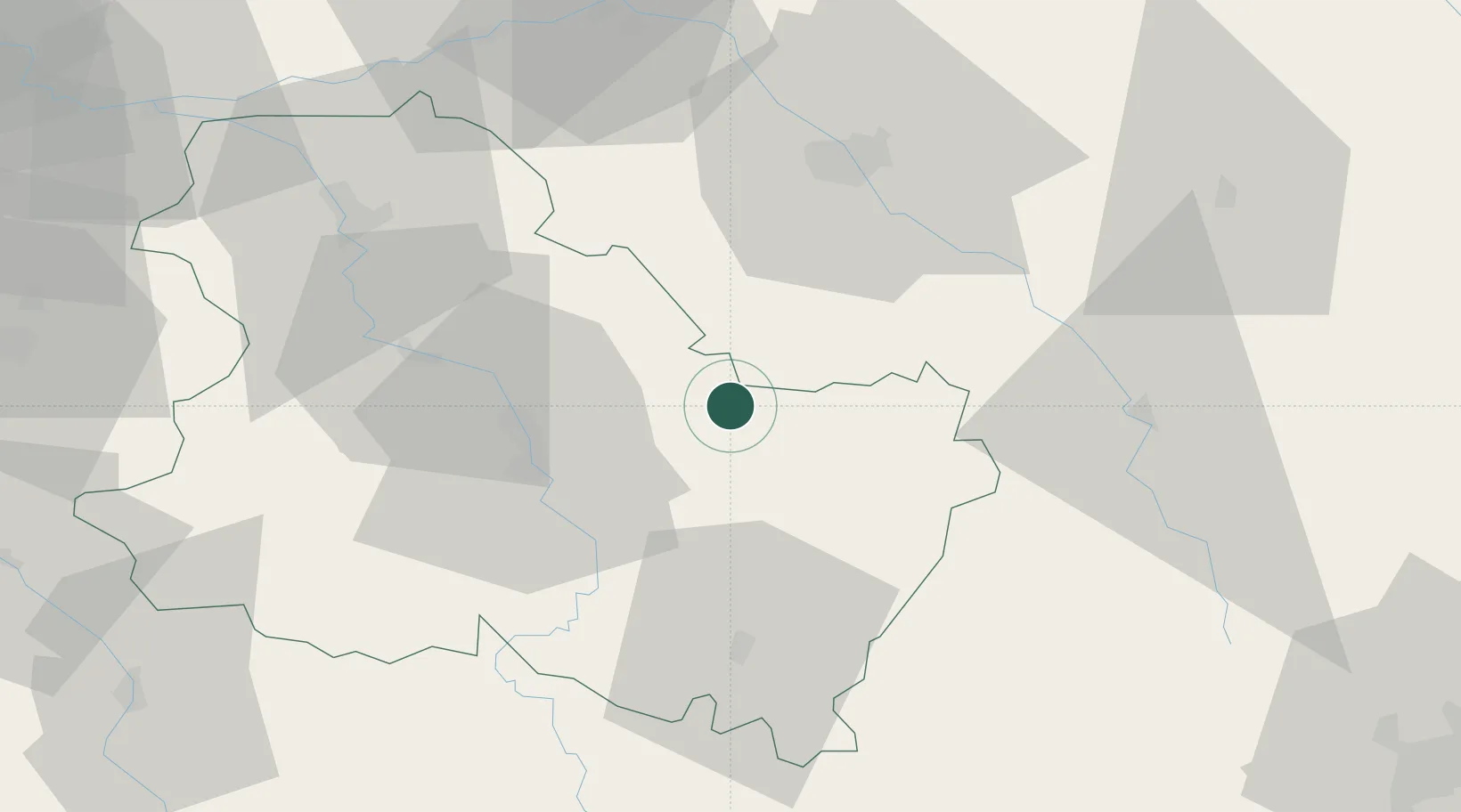
Hub Profile
Place type
Populated place
Region
Bourgogne
Population
113
Time zone
Europe/Paris
Elevation
217 m
Location
Nearby Logistics Neighbours
Cities
- 1Junay4 km
- 2Vézinnes4 km
- 3Collan6 km
- 4Flogny-la-Chapelle6 km
- 5Épineuil7 km
Ports
- 1Port Of Rouen270 km
- 2Saint-Valery-Sur-Somme304 km
- 3Le Treport304 km
- 4Dieppe306 km
- 5Honfleur319 km
Airports
- 1Auxerre Branches airport31 km
- 2Troyes-Barberey Airport48 km
- 3Chalons Vatry airport100 km
- 4Saint-Dizier – Robinson Air Base110 km
- 5Dijon Longvic airport114 km
Trade Zones
DatabookThe Record of Consolidated Knowledge
France beyond logistics?