Transport Functions
Multimodal
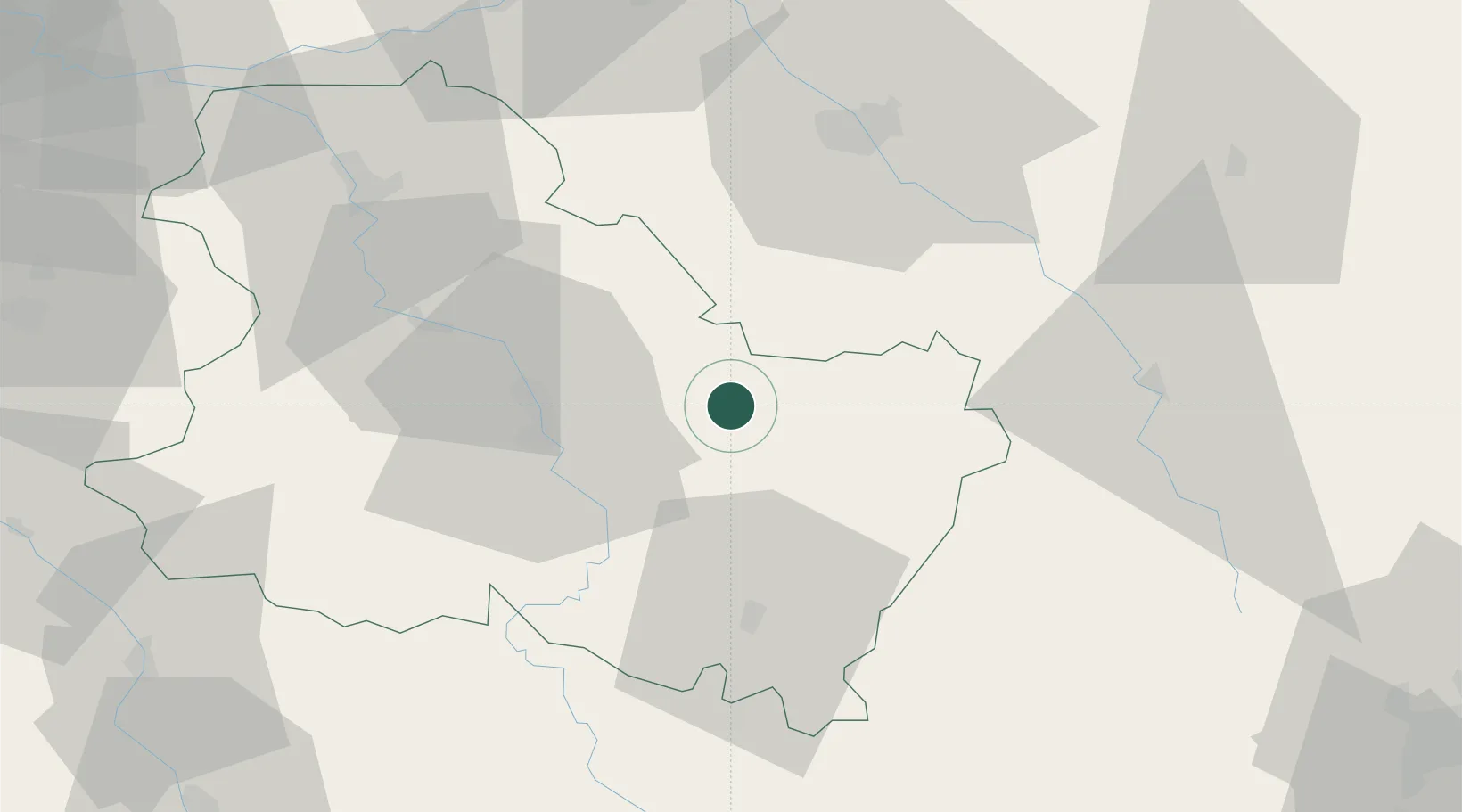
Hub Profile
Place type
Populated place
Region
Bourgogne
Population
209
Time zone
Europe/Paris
Elevation
228 m
Location
Nearby Logistics Neighbours
Cities
- 1Serrigny3 km
- 2Fontenay-près-Chablis5 km
- 3Bernouil6 km
- 4Junay6 km
- 5Vézinnes6 km
Ports
- 1Port Of Rouen273 km
- 2Le Treport307 km
- 3Saint-Valery-Sur-Somme308 km
- 4Dieppe309 km
- 5Honfleur321 km
Airports
- 1Auxerre Branches airport29 km
- 2Troyes-Barberey Airport53 km
- 3Chalons Vatry airport105 km
- 4Nevers-Fourchambault Airport111 km
- 5Dijon Longvic airport111 km
Trade Zones
DatabookThe Record of Consolidated Knowledge
France beyond logistics?