Transport Functions
Multimodal
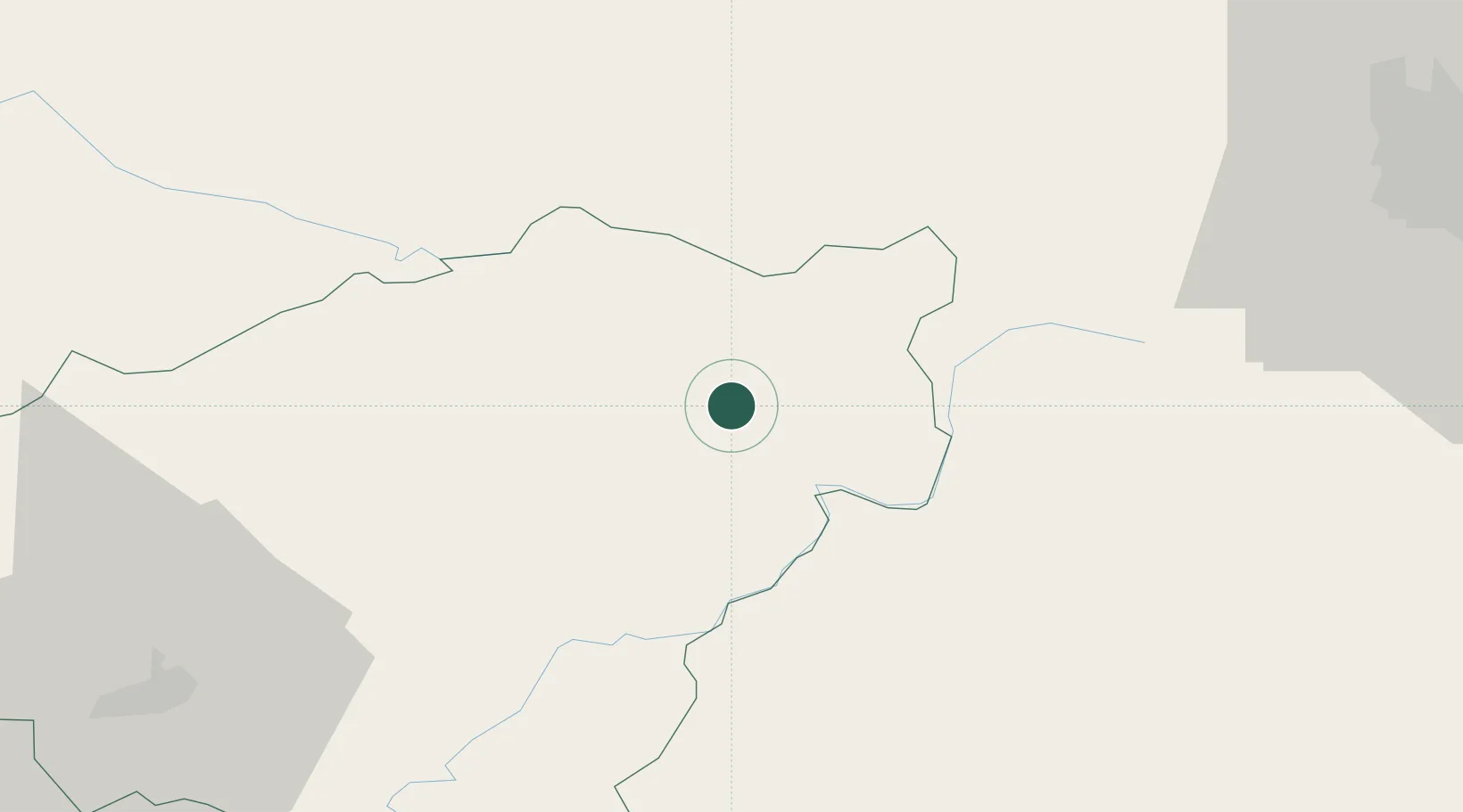
Hub Profile
Place type
Local administrative seat
Region
Nouvelle-Aquitaine
Population
801
Time zone
Europe/Paris
Elevation
378 m
Location
Nearby Logistics Neighbours
Ports
- 1Ambes225 km
- 2Blaye232 km
- 3Bordeaux232 km
- 4Pauillac237 km
- 5Tonnay Charente249 km
Airports
- 1Aurillac airport71 km
- 2Clermont-Ferrand Auvergne airport78 km
- 3Montluçon-Guéret Airport79 km
- 4Brive Souillac airport80 km
- 5Limoges Airport92 km
Trade Zones
- 1ZFU Clermont-Ferrand71 km
- 2ZFU Saint-Etienne160 km
- 3ZFU Bourges174 km
- 4ZFU Lyon 9e201 km
- 5ZFU Vénissieux203 km
DatabookThe Record of Consolidated Knowledge
France beyond logistics?