Transport Functions
Multimodal
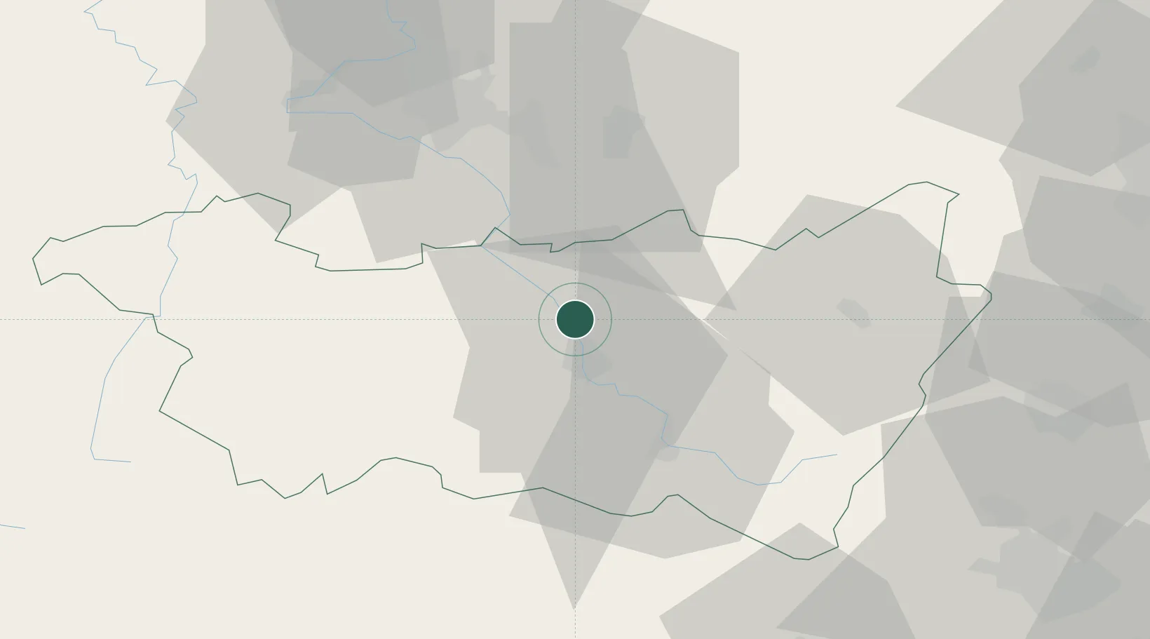
Hub Profile
Place type
Populated place
Region
Grand Est
Population
967
Time zone
Europe/Paris
Elevation
320 m
Location
Nearby Logistics Neighbours
Cities
- 1Igney3 km
- 2Domèvre-sur-Durbion3 km
- 3Châtel-sur-Moselle5 km
- 4Nomexy5 km
- 5Épinal9 km
Airports
Trade Zones
- 1ZFU Maxéville, Laxou, et de Nancy53 km
- 2ZFU Belfort74 km
- 3ZFU Mulhouse89 km
- 4ZFU Montbéliard89 km
- 5ZFU Metz95 km
DatabookThe Record of Consolidated Knowledge
France beyond logistics?