Transport Functions
Multimodal
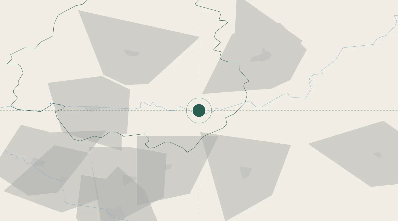
Hub Profile
Place type
Populated place
Region
Nouvelle-Aquitaine
Population
535
Time zone
Europe/Paris
Elevation
109 m
Location
Nearby Logistics Neighbours
Cities
- 1Massugas14 km
- 2Les Eyzies15 km
- 3Carlux17 km
- 4Mareuil21 km
- 5Goujounac28 km
Airports
Trade Zones
- 1Port de Bordeaux133 km
- 2ZFU Hauts de Garonne136 km
- 3ZFU Toulouse139 km
- 4ZFU Clermont-Ferrand184 km
- 5ZFU Béziers234 km
DatabookThe Record of Consolidated Knowledge
France beyond logistics?