Transport Functions
Multimodal
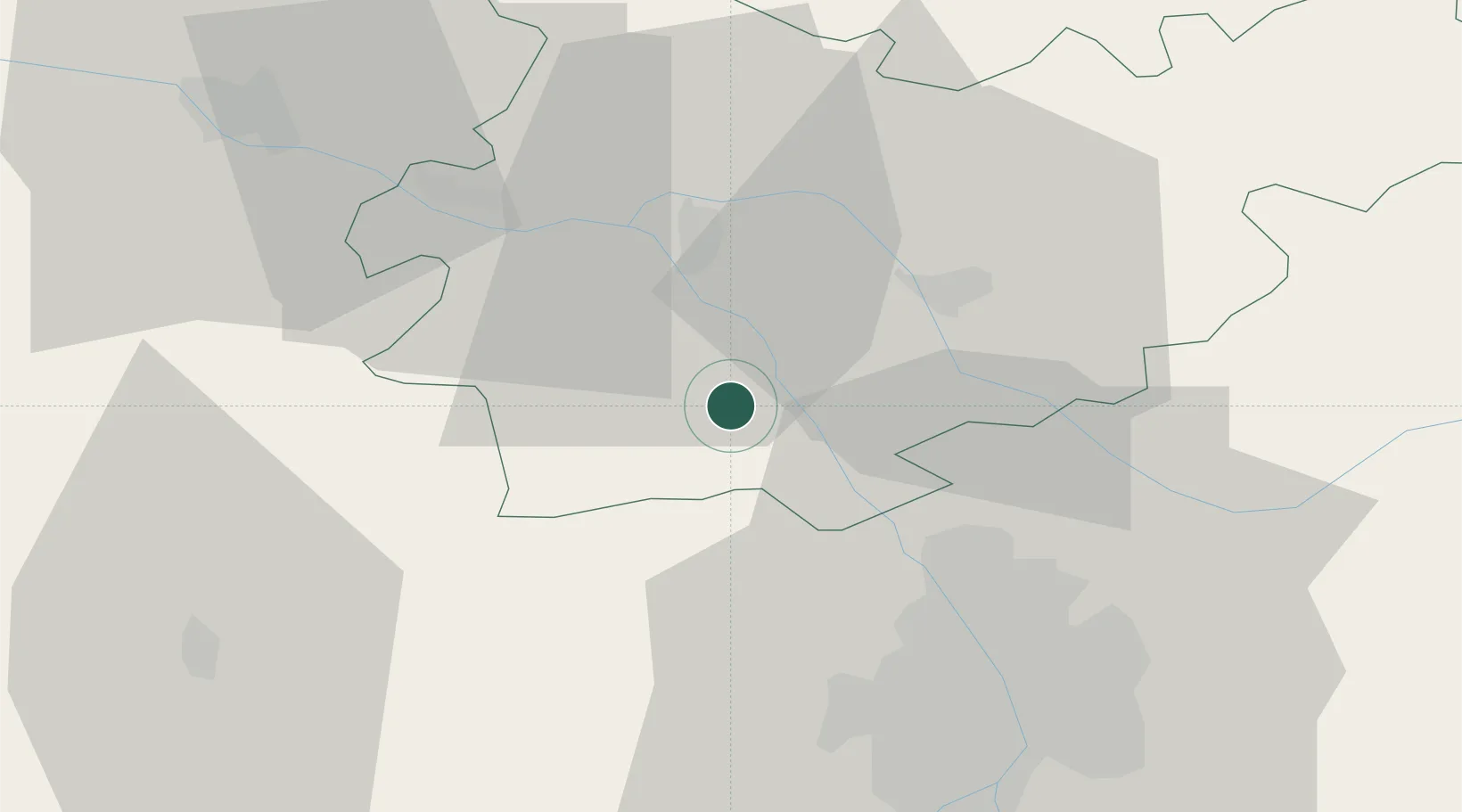
Hub Profile
Place type
Populated place
Region
Occitanie
Population
596
Time zone
Europe/Paris
Elevation
178 m
Location
Nearby Logistics Neighbours
Cities
- 1Montech10 km
- 2Montbartier11 km
- 3Beaumont-de-Lomagne12 km
- 4Grisolles15 km
- 5Fabas17 km
Ports
- 1Bordeaux173 km
- 2Ambes181 km
- 3Port-La-Nouvelle184 km
- 4Blaye198 km
- 5Pauillac208 km
Airports
Trade Zones
- 1ZFU Toulouse41 km
- 2ZFU Hauts de Garonne171 km
- 3Port de Bordeaux174 km
- 4ZFU Béziers179 km
- 5ZFU Perpignan195 km
DatabookThe Record of Consolidated Knowledge
France beyond logistics?