Transport Functions
Multimodal
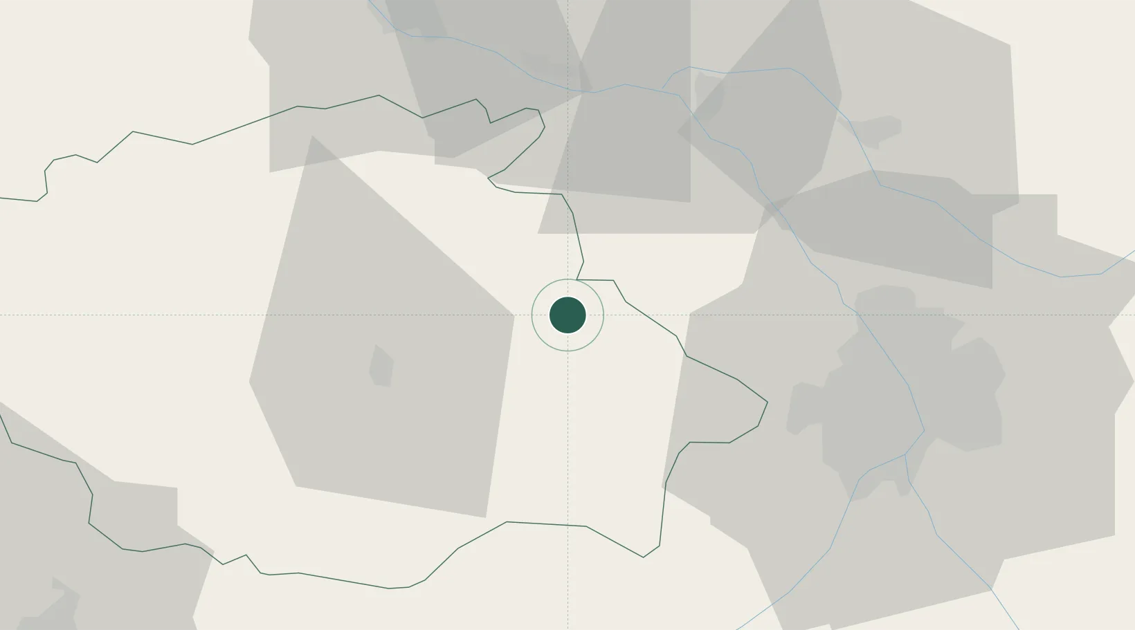
Hub Profile
Place type
Populated place
Region
Occitanie
Population
1,898
Time zone
Europe/Paris
Elevation
158 m
Location
Nearby Logistics Neighbours
Cities
- 1Bajonnette11 km
- 2Gimont11 km
- 3Avensac11 km
- 4Marignac11 km
- 5Mirepoix17 km
Ports
- 1Bordeaux171 km
- 2Ambes182 km
- 3Bayonne191 km
- 4Port-La-Nouvelle194 km
- 5Blaye198 km
Airports
Trade Zones
- 1ZFU Toulouse47 km
- 2ZFU Hauts de Garonne168 km
- 3Port de Bordeaux173 km
- 4ZFU Béziers193 km
- 5ZFU Perpignan199 km
DatabookThe Record of Consolidated Knowledge
France beyond logistics?