Transport Functions
Port
Multimodal
Hub Profile
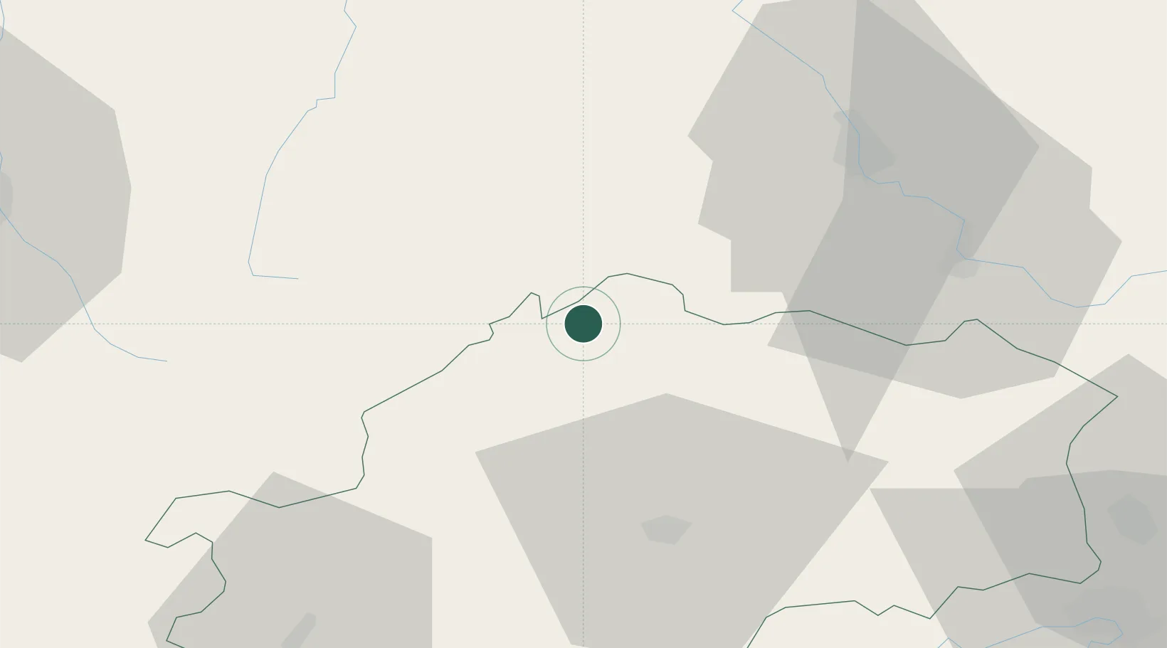
Place type
Populated place
Region
Bourgogne
Population
370
Time zone
Europe/Paris
Elevation
244 m
Location
Nearby Logistics Neighbours
Cities
- 1Martinvelle8 km
- 2Melincourt9 km
- 3Cendrecourt12 km
- 4La Vôge-les-Bains19 km
- 5Bourbonne-les-Bains21 km
Airports
Trade Zones
- 1ZFU Belfort66 km
- 2ZFU Montbéliard74 km
- 3ZFU Besancon77 km
- 4ZFU Maxéville, Laxou, et de Nancy87 km
- 5ZFU Mulhouse99 km
DatabookThe Record of Consolidated Knowledge
France beyond logistics?