Transport Functions
Port
Rail
Road
Hub Profile
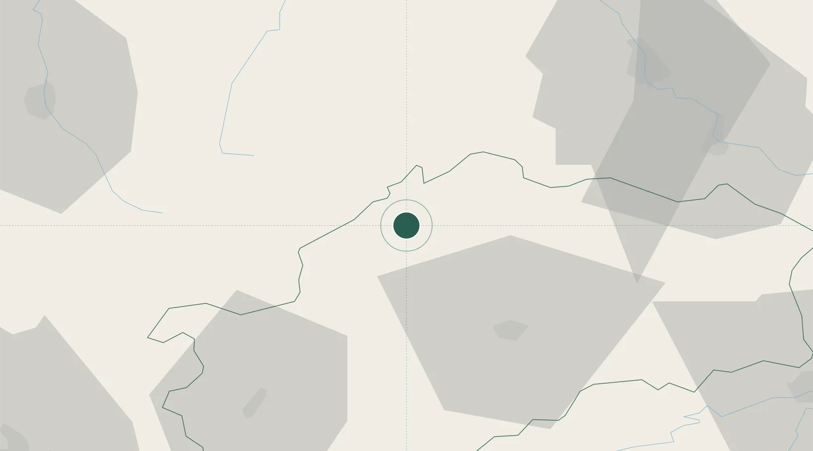
Place type
Populated place
Region
Bourgogne
Population
216
Time zone
Europe/Paris
Elevation
230 m
Location
Nearby Logistics Neighbours
Cities
- 1Demangevelle12 km
- 2Martinvelle15 km
- 3Melincourt15 km
- 4Bourbonne-les-Bains18 km
- 5Coiffy-le-Haut18 km
Ports
- 1Bruxelles355 km
- 2Antwerpen390 km
- 3Ghent391 km
- 4Port Of Rouen399 km
- 5Saint-Valery-Sur-Somme408 km
Airports
Trade Zones
- 1ZFU Besancon68 km
- 2ZFU Belfort69 km
- 3ZFU Montbéliard75 km
- 4ZFU Chenôve95 km
- 5ZFU Maxéville, Laxou, et de Nancy97 km
DatabookThe Record of Consolidated Knowledge
France beyond logistics?