UN/LOCODE hub · France
FRCVX
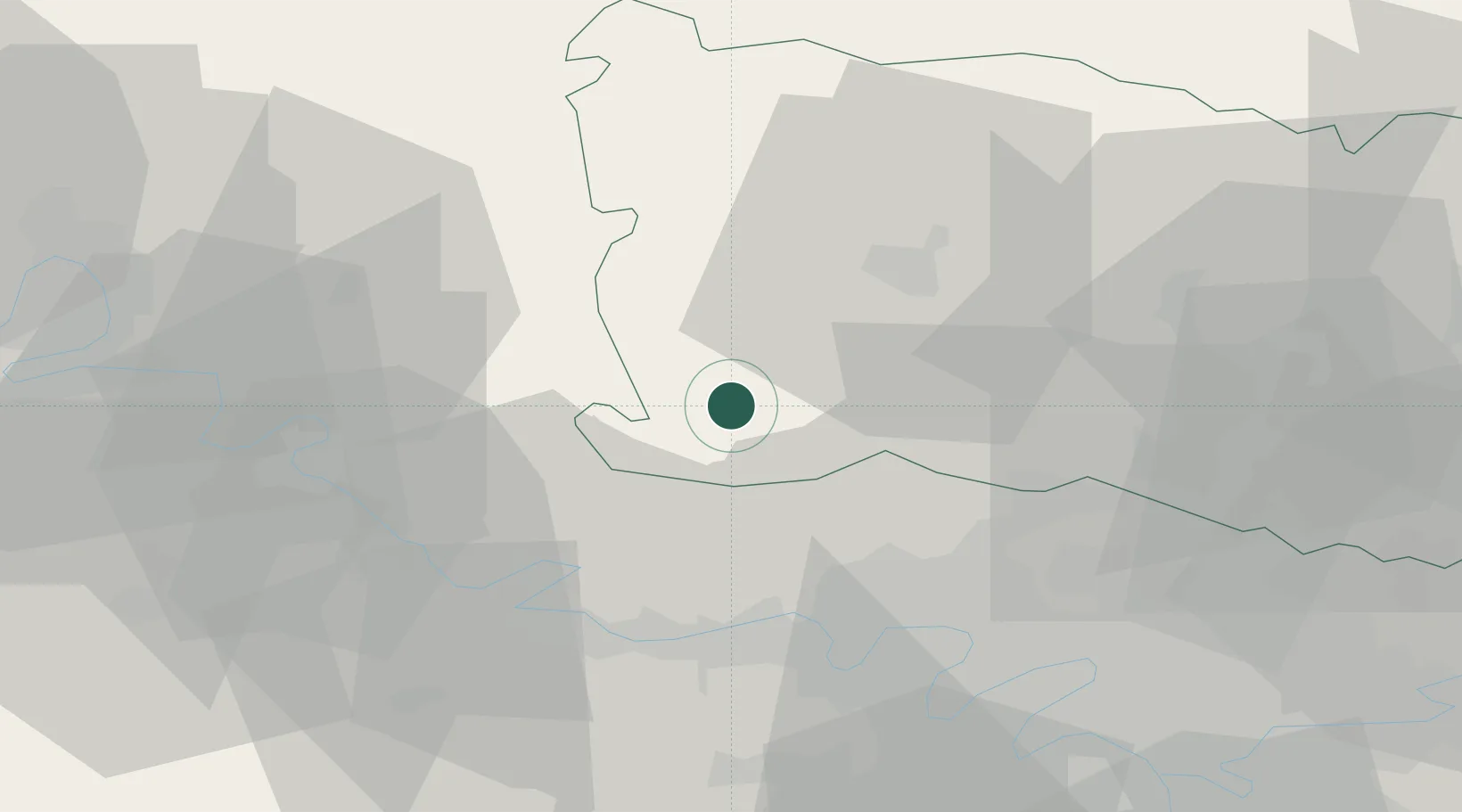
Chaumont-en-Vexin
49.2667°, 1.8833°
3,089
Population
2
Transport functions
Transport Functions
Rail
Road
Hub Profile
Place type
Populated place
Region
Hauts-de-France
Population
3,089
Time zone
Europe/Paris
Elevation
67 m
Location
Nearby Logistics Neighbours
Cities
- 1Trie-Château4 km
- 2Saint-Crépin-Ibouvillers13 km
- 3Bézu-Saint-Éloi14 km
- 4Bernouville14 km
- 5Le Heaulme14 km
Ports
- 1Port Of Rouen63 km
- 2Dieppe94 km
- 3Le Treport96 km
- 4Saint-Valery-Sur-Somme104 km
- 5Honfleur122 km
Airports
Trade Zones
- 1ZFU Beauvais23 km
- 2ZFU Les Mureaux31 km
- 3ZFU Mantes-la-Jolie33 km
- 4ZFU Creil et Montataire38 km
- 5ZFU Sartrouville42 km
DatabookThe Record of Consolidated Knowledge
France beyond logistics?