UN/LOCODE hub · France
FRSRH

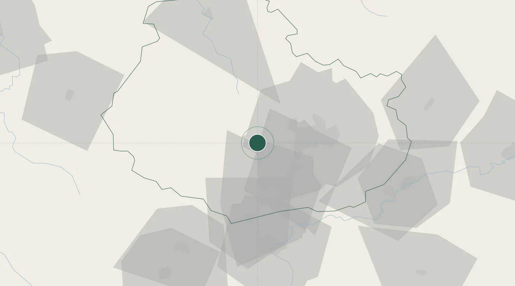
Sainte-Marie-sur-Ouche

47.2833°, 4.8000°
643
Population
2
Transport functions

Transport Functions

Rail
Road
UN/LOCODE

Hub Profile

Place type
Populated place
GeoNames
Region
Bourgogne
GeoNames
Population
643
GeoNames
Time zone
Europe/Paris
GeoNames
Elevation
286 m
GeoNames

Location

Location of FRSRH
Natural Earth 10m (public domain) · Bourgogne · FRSRH · 47.28, 4.80GoogleOSMYandex

Nearby Logistics Neighbours

Cities
  1. 1Mâlain4 km
  2. 2Fleurey-sur-Ouche5 km
  3. 3Baulme-la-Roche7 km
  4. 4Flavignerot9 km
  5. 5Chambuf9 km
Nearest neighbours — logibook spatial index (haversine) over the source coordinates
Ports
  1. 1Port Of Rouen366 km
  2. 2Saint-Valery-Sur-Somme398 km
  3. 3Le Treport399 km
  4. 4Bruxelles400 km
  5. 5Dieppe402 km
Nearest neighbours — logibook spatial index (haversine) over the source coordinates
Airports
  1. 1Dijon Longvic airport22 km
  2. 2Dole Tavaux Airport55 km
  3. 3Mâcon-Charnay Airfield110 km
  4. 4Vesoul-Frotey Airfield113 km
  5. 5Saint-Yan Airport114 km
Nearest neighbours — logibook spatial index (haversine) over the source coordinates
Trade Zones
  1. 1ZFU Chenôve14 km
  2. 2ZFU Besancon91 km
  3. 3ZFU La Chapelle Saint-Luc, Les Noës-près-Troyes, Troyes, Sainte-Savine127 km
  4. 4PESA - Port-Franc et Entrepôts de Lausanne-Chavornay SA148 km
  5. 5ZFU Saint-Dizier150 km
Nearest neighbours — logibook spatial index (haversine) over the source coordinates
DatabookThe Record of Consolidated Knowledge
France beyond logistics?
Browse databook

All Sources

LocationsUN/LOCODE
UN/LOCODE — free
LocationsGeoNames
CC BY 4.0
Portsthe NGA World Port Index
Public domain (US gov)
AirportsOurAirports
Public domain
Trade Zonesthe World Bank SEZ database
CC BY 4.0
Trade ZonesOpen Zone Map
CC BY
← France locations