Transport Functions
Rail
Road
Hub Profile
Place type
Populated place
Region
Centre-Val de Loire
Population
2,010
Time zone
Europe/Paris
Elevation
168 m
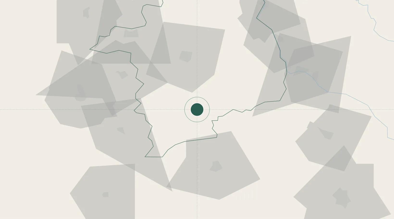
Location
Nearby Logistics Neighbours
Cities
- 1Saint-Amand-Montrond2 km
- 2Arcomps7 km
- 3Venesmes17 km
- 4Châteauneuf-sur-Cher20 km
- 5Maisonnais24 km
Ports
- 1Tonnay Charente275 km
- 2Rochefort278 km
- 3La Rochelle286 km
- 4La Pallice290 km
- 5Ambes302 km
Airports
- 1Avord (BA 702) Air Base37 km
- 2Bourges airport37 km
- 3Nevers-Fourchambault Airport57 km
- 4Montluçon-Guéret Airport58 km
- 5Châteauroux Déols airport59 km
Trade Zones
- 1ZFU Bourges40 km
- 2ZFU Clermont-Ferrand115 km
- 3ZFU Blois132 km
- 4ZFU Orléans136 km
- 5ZFU Sens173 km
DatabookThe Record of Consolidated Knowledge
France beyond logistics?