UN/LOCODE hub · France
FRSDM
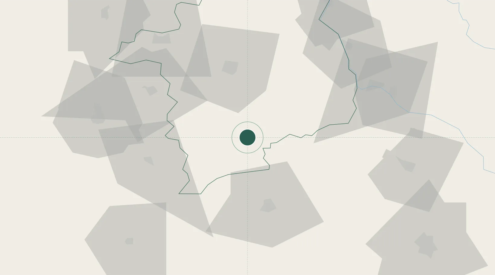
Saint-Amand-Montrond
46.7167°, 2.5000°
11,976
Population
2
Transport functions
Transport Functions
Rail
Road
Hub Profile
Place type
District seat
Region
Centre-Val de Loire
Population
11,976
Time zone
Europe/Paris
Elevation
159 m
Location
Nearby Logistics Neighbours
Cities
- 1Orval2 km
- 2Arcomps6 km
- 3Venesmes19 km
- 4Châteauneuf-sur-Cher22 km
- 5Maisonnais25 km
Ports
- 1Tonnay Charente275 km
- 2Rochefort279 km
- 3La Rochelle287 km
- 4La Pallice291 km
- 5Ambes301 km
Airports
- 1Avord (BA 702) Air Base39 km
- 2Bourges airport40 km
- 3Montluçon-Guéret Airport56 km
- 4Nevers-Fourchambault Airport56 km
- 5Châteauroux Déols airport61 km
Trade Zones
- 1ZFU Bourges42 km
- 2ZFU Clermont-Ferrand113 km
- 3ZFU Blois134 km
- 4ZFU Orléans138 km
- 5ZFU Sens174 km
DatabookThe Record of Consolidated Knowledge
France beyond logistics?