UN/LOCODE hub · France
FRPPW

Pompertuzat

43.5000°, 1.5167°
1,357
Population
2
Transport functions

Transport Functions

Road
Multimodal
UN/LOCODE

Hub Profile

Place type
Populated place
GeoNames
Region
Occitanie
GeoNames
Population
1,357
GeoNames
Time zone
Europe/Paris
GeoNames
Elevation
198 m
GeoNames

Location

Location of FRPPW
Natural Earth 10m (public domain) · Occitanie · FRPPW · 43.50, 1.52GoogleOSMYandex

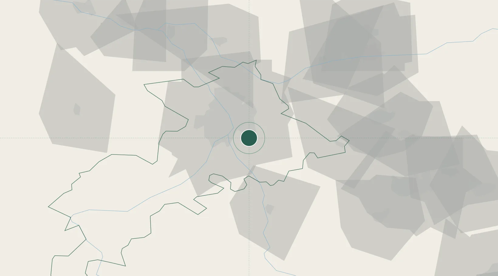
Nearby Logistics Neighbours

Cities
  1. 1Deyme2 km
  2. 2Labège4 km
  3. 3Belberaud4 km
  4. 4Auzeville-Tolosane5 km
  5. 5Lauzerville7 km
Nearest neighbours — logibook spatial index (haversine) over the source coordinates
Ports
  1. 1Port-La-Nouvelle137 km
  2. 2Port-Vendres170 km
  3. 3Sete177 km
  4. 4Rosas193 km
  5. 5Bordeaux225 km
Nearest neighbours — logibook spatial index (haversine) over the source coordinates
Airports
  1. 1Toulouse-Francazal (BA 101) Air Base13 km
  2. 2Toulouse-Blagnac Airport19 km
  3. 3Castres Mazamet Airport63 km
  4. 4Aérodrome de Saint-Girons - Antichan64 km
  5. 5Albi Le Sequestre airport67 km
Nearest neighbours — logibook spatial index (haversine) over the source coordinates
Trade Zones
  1. 1ZFU Toulouse13 km
  2. 2ZFU Béziers138 km
  3. 3ZFU Perpignan143 km
  4. 4ZFU Montpellier188 km
  5. 5ZFU Hauts de Garonne223 km
Nearest neighbours — logibook spatial index (haversine) over the source coordinates
DatabookThe Record of Consolidated Knowledge
France beyond logistics?
Browse databook

All Sources

LocationsUN/LOCODE
UN/LOCODE — free
LocationsGeoNames
CC BY 4.0
Portsthe NGA World Port Index
Public domain (US gov)
AirportsOurAirports
Public domain
Trade Zonesthe World Bank SEZ database
CC BY 4.0
Trade ZonesOpen Zone Map
CC BY
← France locations