Transport Functions
Port
Road
Hub Profile
Place type
Populated place
Region
Occitanie
Population
936
Time zone
Europe/Paris
Elevation
230 m
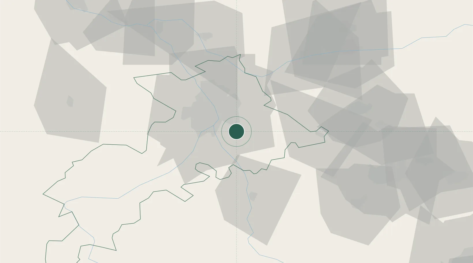
Location
Nearby Logistics Neighbours
Cities
- 1Pompertuzat2 km
- 2Belberaud3 km
- 3Labège6 km
- 4Odars7 km
- 5Auzeville-Tolosane7 km
Ports
- 1Port-La-Nouvelle135 km
- 2Port-Vendres168 km
- 3Sete175 km
- 4Rosas191 km
- 5Palamos225 km
Airports
Trade Zones
- 1ZFU Toulouse15 km
- 2ZFU Béziers137 km
- 3ZFU Perpignan141 km
- 4ZFU Montpellier187 km
- 5ZFU Hauts de Garonne225 km
DatabookThe Record of Consolidated Knowledge
France beyond logistics?