Transport Functions
Road
Multimodal
Hub Profile
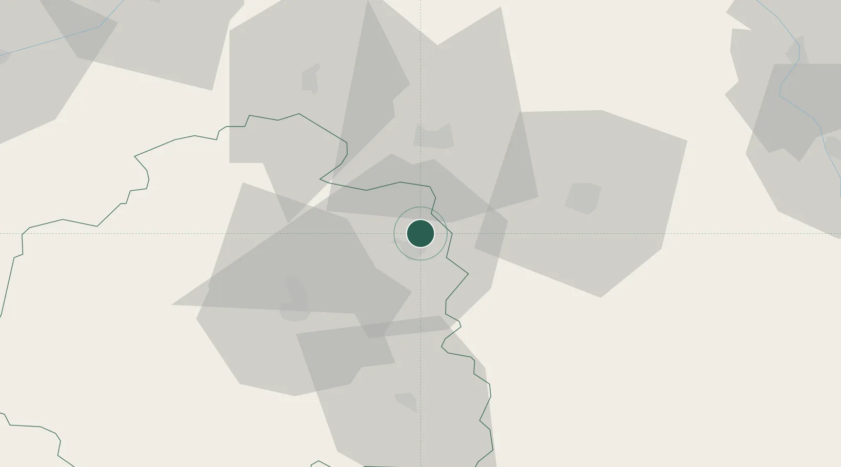
Place type
Populated place
Region
Centre-Val de Loire
Population
1,173
Time zone
Europe/Paris
Elevation
126 m
Location
Nearby Logistics Neighbours
Cities
- 1Lazenay8 km
- 2Lizeray9 km
- 3Saint-Valentin13 km
- 4Cerbois14 km
- 5Preuilly17 km
Ports
- 1Tonnay Charente253 km
- 2Rochefort256 km
- 3La Rochelle260 km
- 4La Pallice264 km
- 5Nantes272 km
Airports
- 1Châteauroux Déols airport27 km
- 2Bourges airport28 km
- 3Avord (BA 702) Air Base47 km
- 4Nevers-Fourchambault Airport83 km
- 5Montluçon-Guéret Airport90 km
Trade Zones
- 1ZFU Bourges25 km
- 2ZFU Blois86 km
- 3ZFU Orléans98 km
- 4ZFU Clermont-Ferrand158 km
- 5ZFU Sens163 km
DatabookThe Record of Consolidated Knowledge
France beyond logistics?