UN/LOCODE hub · France
FRVIS

Villers-Saint-Sépulcre
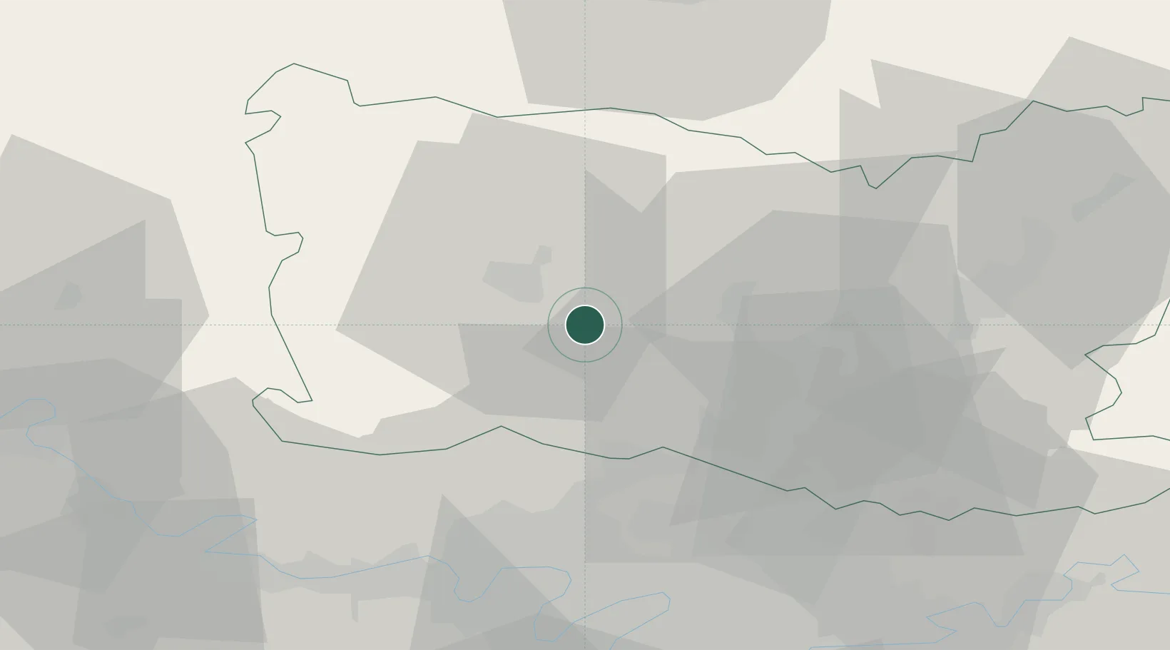
49.3667°, 2.2000°
902
Population
2
Transport functions

Transport Functions

Rail
Road
UN/LOCODE

Hub Profile

Place type
Populated place
GeoNames
Region
Hauts-de-France
GeoNames
Population
902
GeoNames
Time zone
Europe/Paris
GeoNames
Elevation
71 m
GeoNames

Location

Location of FRVIS
Natural Earth 10m (public domain) · Hauts-de-France · FRVIS · 49.37, 2.20GoogleOSMYandex

Nearby Logistics Neighbours

Cities
  1. 1Berthecourt2 km
  2. 2Cauvigny8 km
  3. 3Beauvais11 km
  4. 4Tillé13 km
  5. 5Agnetz13 km
Nearest neighbours — logibook spatial index (haversine) over the source coordinates
Ports
  1. 1Port Of Rouen83 km
  2. 2Le Treport98 km
  3. 3Saint-Valery-Sur-Somme100 km
  4. 4Dieppe102 km
  5. 5Fecamp140 km
Nearest neighbours — logibook spatial index (haversine) over the source coordinates
Airports
  1. 1Beauvais-Tillé airport12 km
  2. 2Creil Air Base26 km
  3. 3Pontoise-Cormeilles Aerodrome32 km
  4. 4Charles de Gaulle International Airport47 km
  5. 5Paris-Le Bourget International Airport48 km
Nearest neighbours — logibook spatial index (haversine) over the source coordinates
Trade Zones
  1. 1ZFU Beauvais14 km
  2. 2ZFU Creil et Montataire19 km
  3. 3ZFU Villiers-le-Bel42 km
  4. 4ZFU Garges-lès-Gonesse et Sarcelles46 km
  5. 5ZFU Argenteuil46 km
Nearest neighbours — logibook spatial index (haversine) over the source coordinates
DatabookThe Record of Consolidated Knowledge
France beyond logistics?
Browse databook

All Sources

LocationsUN/LOCODE
UN/LOCODE — free
LocationsGeoNames
CC BY 4.0
Portsthe NGA World Port Index
Public domain (US gov)
AirportsOurAirports
Public domain
Trade Zonesthe World Bank SEZ database
CC BY 4.0
Trade ZonesOpen Zone Map
CC BY
← France locations