Transport Functions
Road
Multimodal
Hub Profile
Place type
Populated place
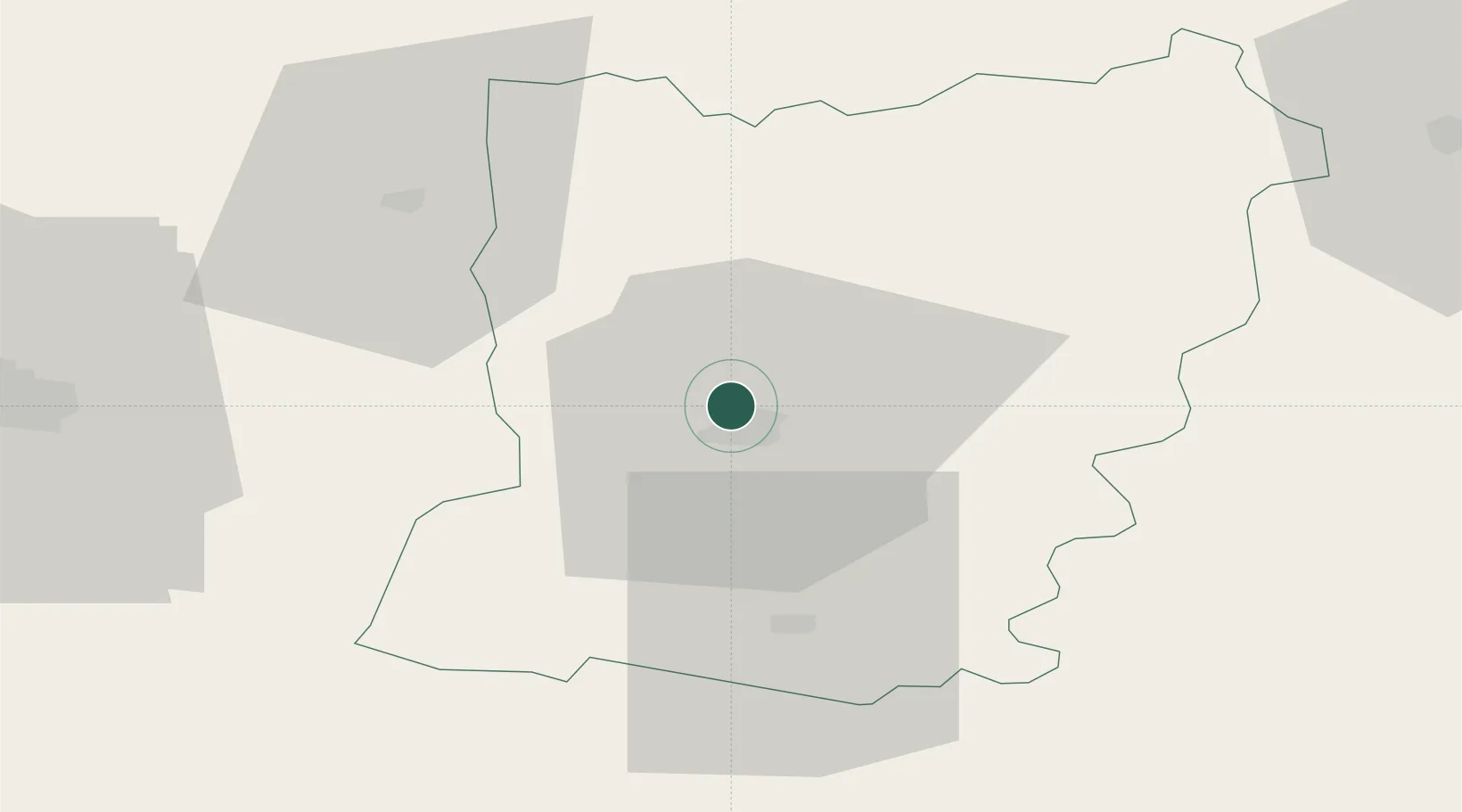
Region
Pays de la Loire
Population
5,245
Time zone
Europe/Paris
Elevation
54 m
Location
Nearby Logistics Neighbours
Cities
- 1Laval4 km
- 2Le Genest-Saint-Isle8 km
- 3Loiron12 km
- 4Beulin13 km
- 5Neau24 km
Ports
- 1Granville101 km
- 2Saint-Malo110 km
- 3Nantes116 km
- 4Port De Caen125 km
- 5Donges131 km
Airports
- 1Laval-Entrammes Airport8 km
- 2Angers Marcé airport70 km
- 3Rennes-Saint-Jacques Airport71 km
- 4Le Mans-Arnage Airport75 km
- 5Granville Airport104 km
Trade Zones
- 1ZFU Le Mans69 km
- 2ZFU Angers70 km
- 3ZFU Alençon74 km
- 4ZFU Nantes et Saint-Herblain119 km
- 5ZFU La Guérinière, La Grâce de Dieu124 km
DatabookThe Record of Consolidated Knowledge
France beyond logistics?