UN/LOCODE hub · France
FRLEJ

Le Genest-Saint-Isle

48.0833°, -0.8833°
2
Transport functions

Transport Functions

Road
Multimodal
UN/LOCODE

Hub Profile

Place type
Populated place
GeoNames
Region
Pays de la Loire
GeoNames
Time zone
Europe/Paris
GeoNames
Elevation
100 m
GeoNames

Location

Location of FRLEJ
Natural Earth 10m (public domain) · Pays de la Loire · FRLEJ · 48.08, -0.88GoogleOSMYandex

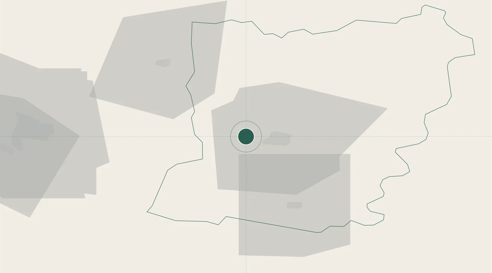
Nearby Logistics Neighbours

Cities
  1. 1Loiron4 km
  2. 2Changé8 km
  3. 3Laval11 km
  4. 4Beulin16 km
  5. 5Châtillon-en-Vendelais26 km
Nearest neighbours — logibook spatial index (haversine) over the source coordinates
Ports
  1. 1Granville99 km
  2. 2Saint-Malo105 km
  3. 3Nantes111 km
  4. 4Donges124 km
  5. 5Montoir128 km
Nearest neighbours — logibook spatial index (haversine) over the source coordinates
Airports
  1. 1Laval-Entrammes Airport12 km
  2. 2Rennes-Saint-Jacques Airport63 km
  3. 3Angers Marcé airport72 km
  4. 4Le Mans-Arnage Airport82 km
  5. 5Granville Airport102 km
Nearest neighbours — logibook spatial index (haversine) over the source coordinates
Trade Zones
  1. 1ZFU Angers70 km
  2. 2ZFU Le Mans76 km
  3. 3ZFU Alençon81 km
  4. 4ZFU Nantes et Saint-Herblain113 km
  5. 5ZFU La Guérinière, La Grâce de Dieu127 km
Nearest neighbours — logibook spatial index (haversine) over the source coordinates
DatabookThe Record of Consolidated Knowledge
France beyond logistics?
Browse databook

All Sources

LocationsUN/LOCODE
UN/LOCODE — free
Portsthe NGA World Port Index
Public domain (US gov)
AirportsOurAirports
Public domain
Trade Zonesthe World Bank SEZ database
CC BY 4.0
Trade ZonesOpen Zone Map
CC BY
← France locations