Transport Functions
Road
Multimodal
Hub Profile
Place type
Populated place
Region
Pays de la Loire
Population
1,342
Time zone
Europe/Paris
Elevation
143 m
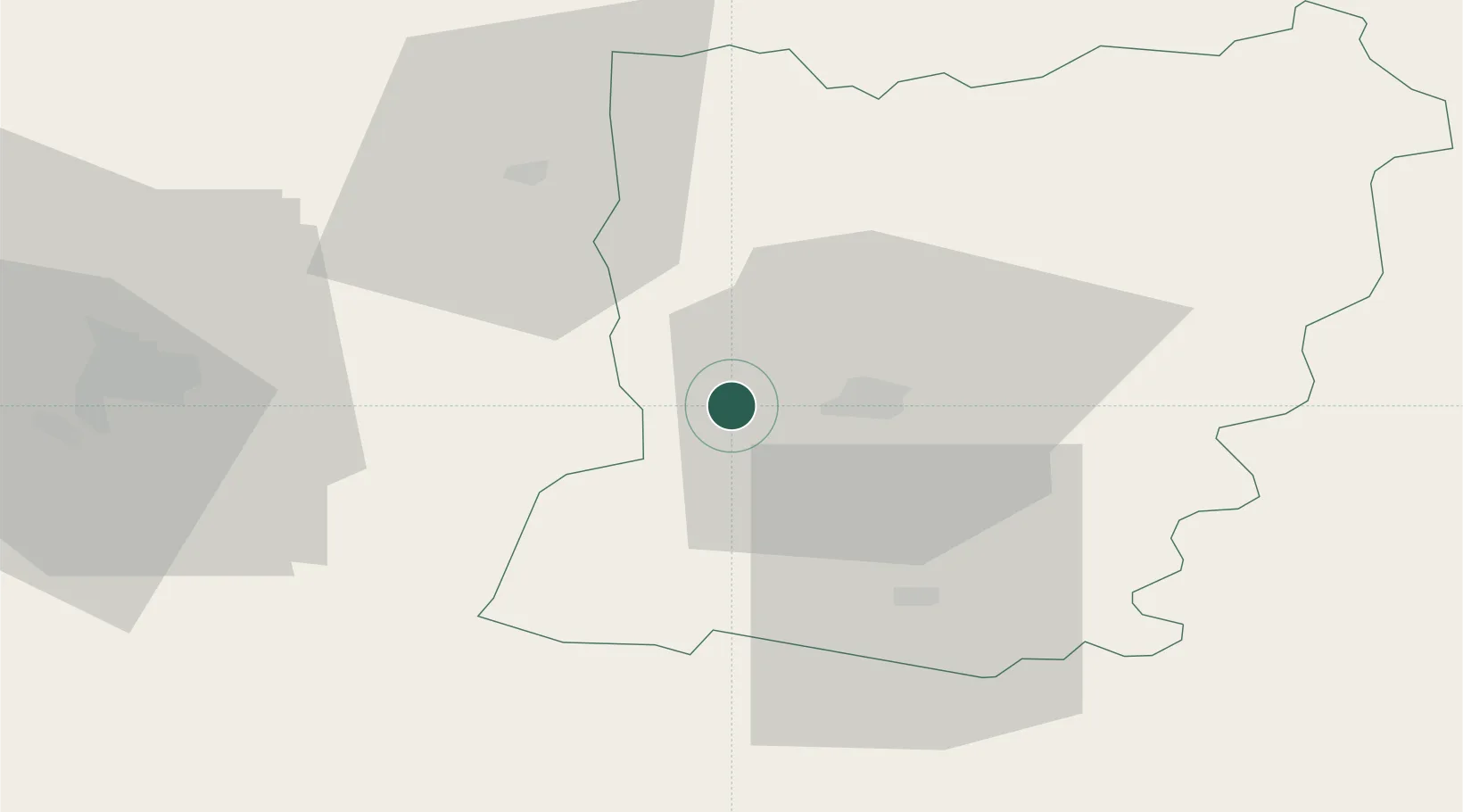
Location
Nearby Logistics Neighbours
Cities
- 1Le Genest-Saint-Isle4 km
- 2Changé12 km
- 3Laval15 km
- 4Beulin19 km
- 5Châtillon-en-Vendelais24 km
Ports
- 1Granville98 km
- 2Saint-Malo103 km
- 3Nantes107 km
- 4Donges120 km
- 5Montoir124 km
Airports
- 1Laval-Entrammes Airport15 km
- 2Rennes-Saint-Jacques Airport60 km
- 3Angers Marcé airport73 km
- 4Le Mans-Arnage Airport86 km
- 5Granville Airport102 km
Trade Zones
- 1ZFU Angers70 km
- 2ZFU Le Mans79 km
- 3ZFU Alençon85 km
- 4ZFU Nantes et Saint-Herblain110 km
- 5ZFU La Guérinière, La Grâce de Dieu130 km
DatabookThe Record of Consolidated Knowledge
France beyond logistics?