Transport Functions
Rail
Airport
Hub Profile
Place type
Provincial seat
Region
Pays de la Loire
Population
50,489
Time zone
Europe/Paris
Elevation
54 m
Logistics facilities
2
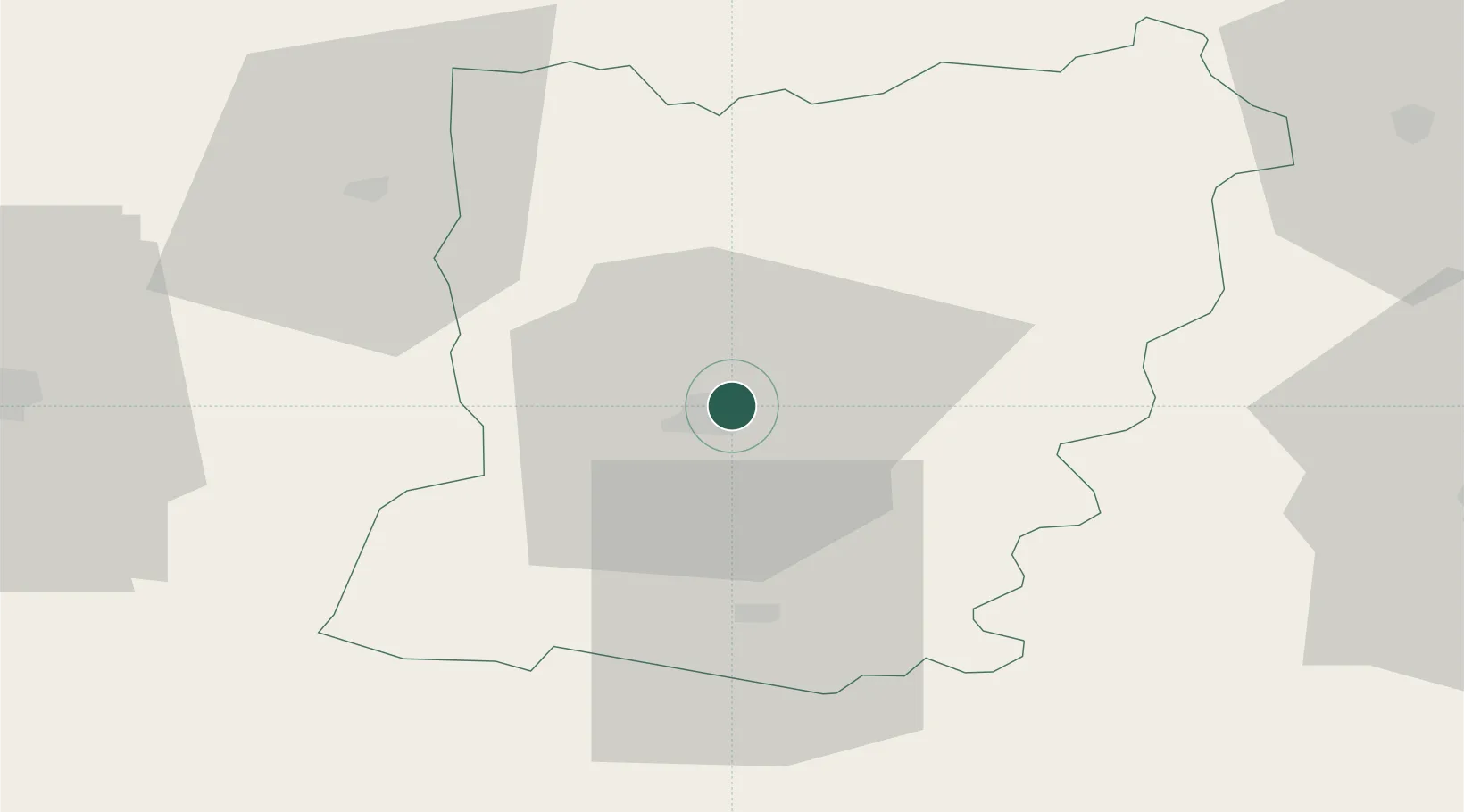
Location
Nearby Logistics Neighbours
Cities
- 1Changé4 km
- 2Le Genest-Saint-Isle11 km
- 3Loiron15 km
- 4Beulin16 km
- 5Neau21 km
Ports
- 1Granville105 km
- 2Saint-Malo113 km
- 3Nantes117 km
- 4Port De Caen125 km
- 5Donges132 km
Airports
- 1Laval-Entrammes Airport6 km
- 2Angers Marcé airport67 km
- 3Le Mans-Arnage Airport72 km
- 4Rennes-Saint-Jacques Airport74 km
- 5Granville Airport108 km
Trade Zones
- 1ZFU Le Mans65 km
- 2ZFU Angers68 km
- 3ZFU Alençon72 km
- 4ZFU Nantes et Saint-Herblain120 km
- 5ZFU La Guérinière, La Grâce de Dieu125 km
DatabookThe Record of Consolidated Knowledge
France beyond logistics?