Transport Functions
Rail
Road
Multimodal
Hub Profile
Region
24
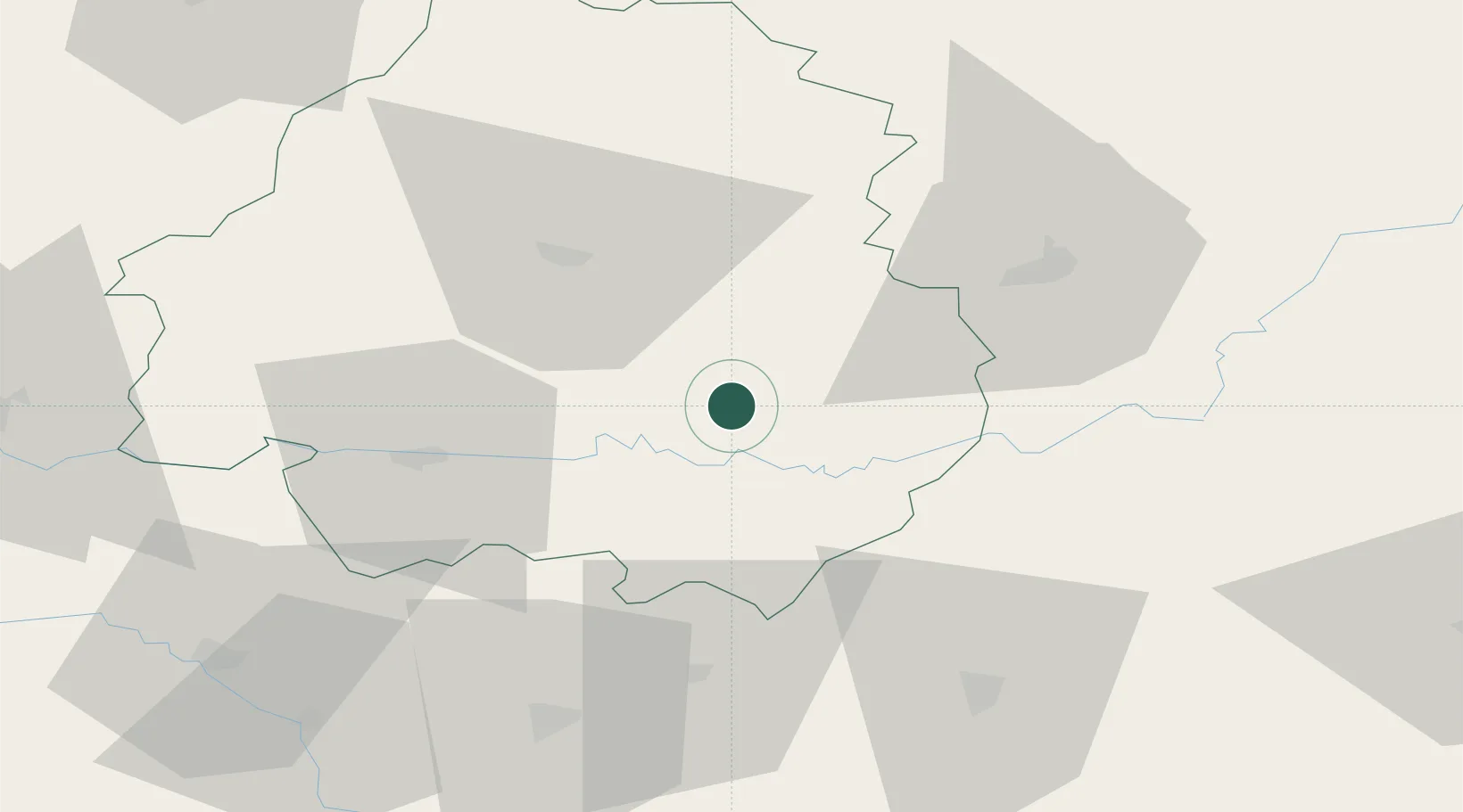
Location
Nearby Logistics Neighbours
Cities
- 1Beynac-et-Cazenac15 km
- 2Saint-Geyrac18 km
- 3Massugas19 km
- 4Bonneval22 km
- 5Pressignac-Vicq24 km
Airports
Trade Zones
- 1Port de Bordeaux122 km
- 2ZFU Hauts de Garonne126 km
- 3ZFU Toulouse152 km
- 4ZFU Clermont-Ferrand187 km
- 5ZFU La Rochelle221 km
DatabookThe Record of Consolidated Knowledge
France beyond logistics?