Transport Functions
Multimodal
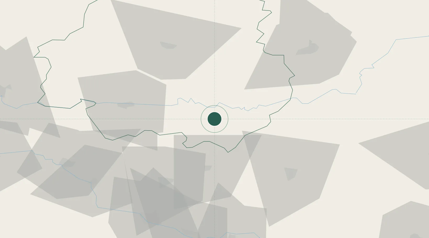
Hub Profile
Place type
Populated place
Region
Nouvelle-Aquitaine
Population
279
Time zone
Europe/Paris
Elevation
82 m
Location
Nearby Logistics Neighbours
Cities
- 1Beynac-et-Cazenac14 km
- 2Guignés18 km
- 3Monségur19 km
- 4Les Eyzies19 km
- 5Goujounac26 km
Airports
Trade Zones
- 1Port de Bordeaux122 km
- 2ZFU Hauts de Garonne125 km
- 3ZFU Toulouse134 km
- 4ZFU Clermont-Ferrand198 km
- 5ZFU La Rochelle232 km
DatabookThe Record of Consolidated Knowledge
France beyond logistics?