Transport Functions
Multimodal
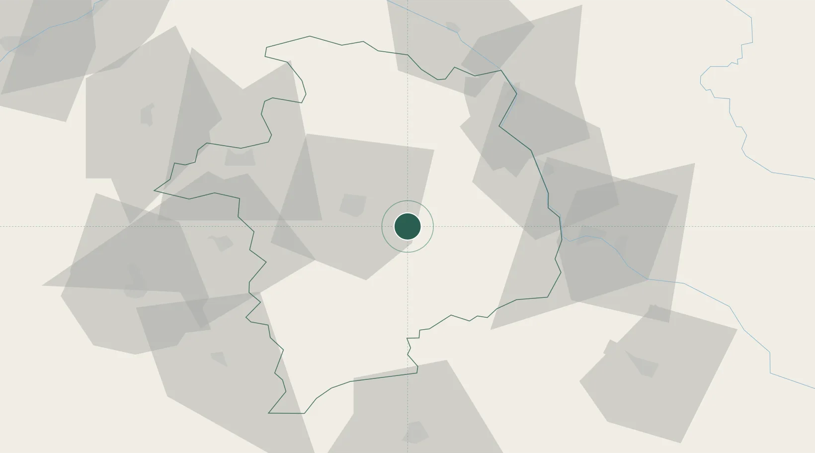
Hub Profile
Place type
Populated place
Region
Centre-Val de Loire
Population
304
Time zone
Europe/Paris
Elevation
150 m
Location
Nearby Logistics Neighbours
Ports
- 1Tonnay Charente293 km
- 2Port Of Rouen293 km
- 3Rochefort296 km
- 4La Rochelle301 km
- 5La Pallice305 km
Airports
- 1Avord (BA 702) Air Base6 km
- 2Bourges airport17 km
- 3Nevers-Fourchambault Airport40 km
- 4Châteauroux Déols airport67 km
- 5Montluçon-Guéret Airport90 km
Trade Zones
- 1ZFU Bourges21 km
- 2ZFU Orléans110 km
- 3ZFU Blois117 km
- 4ZFU Sens141 km
- 5ZFU Clermont-Ferrand142 km
DatabookThe Record of Consolidated Knowledge
France beyond logistics?