Transport Functions
Rail
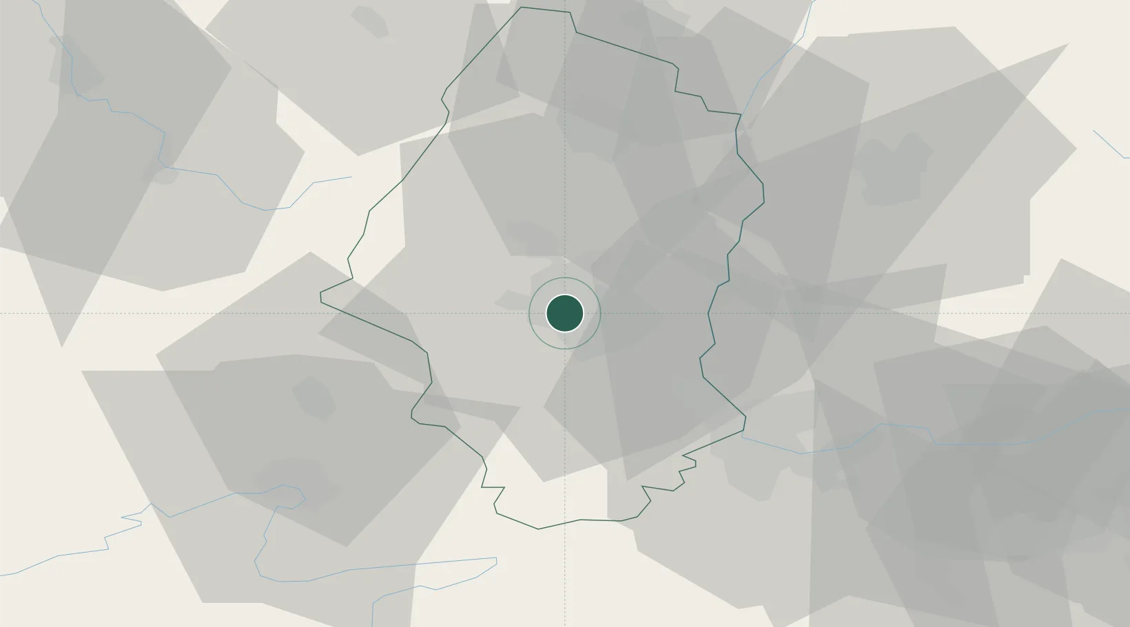
Hub Profile
Place type
Populated place
Region
Grand Est
Population
3,362
Time zone
Europe/Paris
Elevation
246 m
Location
Nearby Logistics Neighbours
Cities
- 1Pfastatt1 km
- 2Mulhouse Nord3 km
- 3Morschwiller-le-Bas4 km
- 4Staffelfelden5 km
- 5Wittenheim5 km
Ports
- 1Savona397 km
- 2Genova397 km
- 3Rada Di Vado402 km
- 4Bruxelles403 km
- 5Chiavari - Lavagna418 km
Airports
Trade Zones
- 1ZFU Mulhouse6 km
- 2ZFU Belfort39 km
- 3ZFU Montbéliard48 km
- 4ZFU Neuhof91 km
- 5ZFU Hautepierre95 km
DatabookThe Record of Consolidated Knowledge
France beyond logistics?