Transport Functions
Port
Rail
Road
Hub Profile
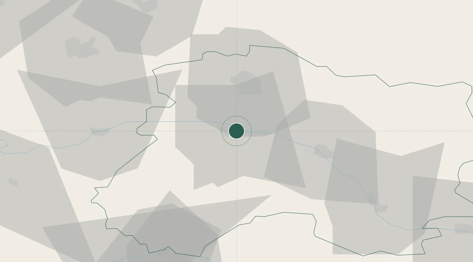
Place type
Populated place
Region
Grand Est
Population
4,362
Time zone
Europe/Paris
Elevation
73 m
Location
Nearby Logistics Neighbours
Cities
- 1Mutigny2 km
- 2Champillon4 km
- 3Avenay-Val-d'Or4 km
- 4Hautvillers5 km
- 5Cumières5 km
Ports
- 1Bruxelles204 km
- 2Ghent225 km
- 3Antwerpen243 km
- 4Nieuwpoort248 km
- 5Bruges249 km
Airports
Trade Zones
DatabookThe Record of Consolidated Knowledge
France beyond logistics?