Transport Functions
Road
Multimodal
Hub Profile
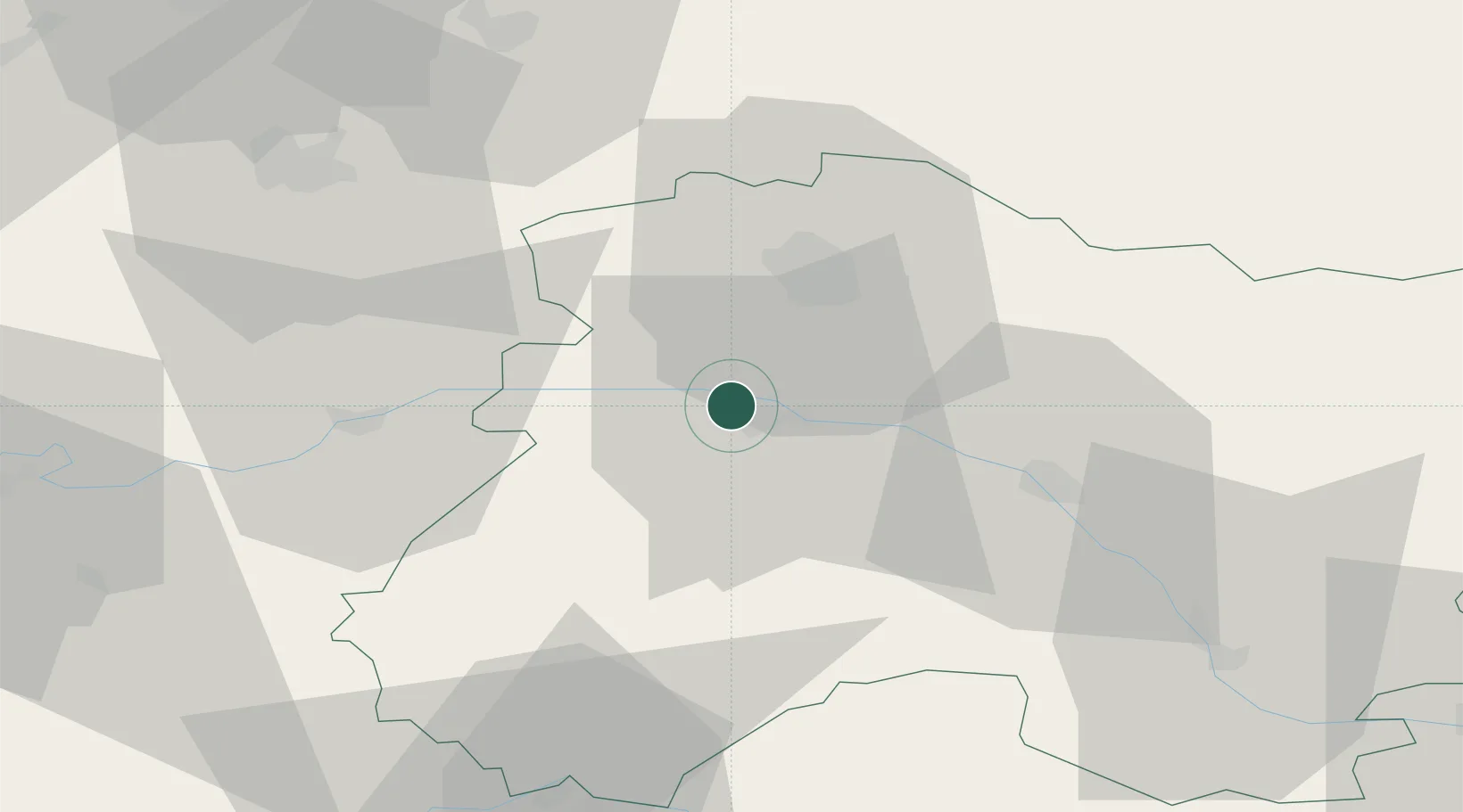
Place type
Populated place
Region
Grand Est
Population
868
Time zone
Europe/Paris
Elevation
83 m
Location
Nearby Logistics Neighbours
Cities
- 1Hautvillers2 km
- 2Champillon4 km
- 3Fleury-la-Rivière4 km
- 4Vauciennes4 km
- 5Ay5 km
Ports
- 1Bruxelles202 km
- 2Saint-Valery-Sur-Somme208 km
- 3Port Of Rouen212 km
- 4Le Treport216 km
- 5Ghent223 km
Airports
Trade Zones
DatabookThe Record of Consolidated Knowledge
France beyond logistics?