Transport Functions
Rail
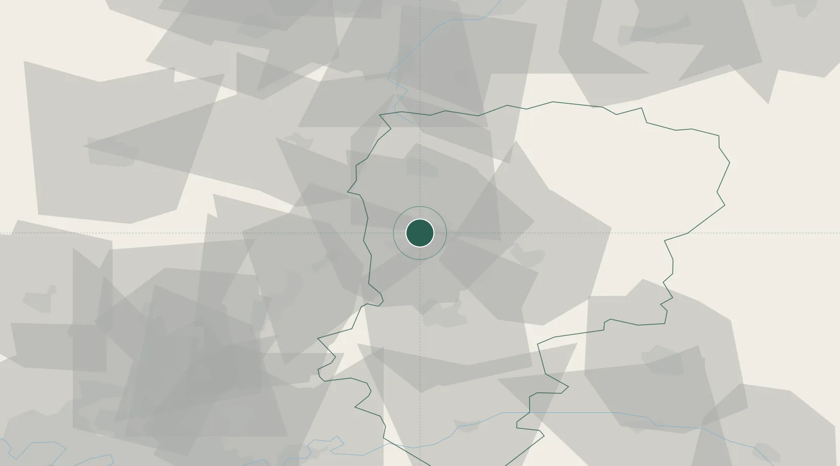
Hub Profile
Place type
Populated place
Region
Hauts-de-France
Population
15,475
Time zone
Europe/Paris
Elevation
55 m
Location
Nearby Logistics Neighbours
Cities
- 1Chauny6 km
- 2Achery8 km
- 3Essigny-le-Grand13 km
- 4Saint-Simon14 km
- 5Dallon19 km
Ports
- 1Saint-Valery-Sur-Somme133 km
- 2Le Treport145 km
- 3Bruxelles155 km
- 4Ghent161 km
- 5Dieppe161 km
Airports
- 1Péronne Saint-Quentin Airfield30 km
- 2Amiens Glisy Airfield69 km
- 3Creil Air Base71 km
- 4Valenciennes-Denain Airfield76 km
- 5Beauvais-Tillé airport87 km
Trade Zones
DatabookThe Record of Consolidated Knowledge
France beyond logistics?