Transport Functions
Multimodal
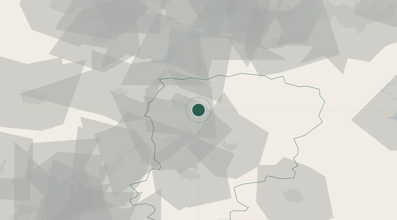
Hub Profile
Place type
Populated place
Region
Hauts-de-France
Population
253
Time zone
Europe/Paris
Elevation
74 m
Location
Nearby Logistics Neighbours
Cities
- 1Ribemont4 km
- 2Origny-Sainte-Benoite6 km
- 3Harly7 km
- 4Fontaine-Notre-Dame8 km
- 5Saint-Quentin10 km
Ports
- 1Bruxelles134 km
- 2Saint-Valery-Sur-Somme135 km
- 3Ghent141 km
- 4Le Treport149 km
- 5Nieuwpoort154 km
Airports
DatabookThe Record of Consolidated Knowledge
France beyond logistics?