Transport Functions
Rail
Road
Hub Profile
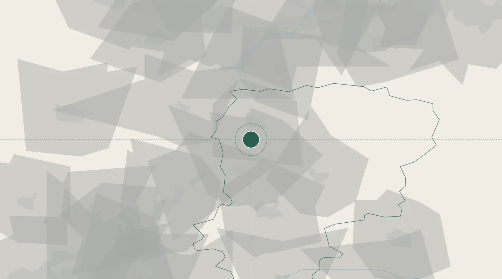
Place type
Populated place
Region
Hauts-de-France
Population
1,216
Time zone
Europe/Paris
Elevation
107 m
Location
Nearby Logistics Neighbours
Cities
- 1Dallon6 km
- 2Saint-Simon7 km
- 3Harly8 km
- 4Saint-Quentin9 km
- 5Holnon12 km
Ports
- 1Saint-Valery-Sur-Somme127 km
- 2Le Treport140 km
- 3Bruxelles145 km
- 4Ghent148 km
- 5Nieuwpoort156 km
Airports
- 1Péronne Saint-Quentin Airfield21 km
- 2Valenciennes-Denain Airfield64 km
- 3Amiens Glisy Airfield64 km
- 4Creil Air Base79 km
- 5Lille Airport90 km
DatabookThe Record of Consolidated Knowledge
France beyond logistics?