Transport Functions
Rail
Road
Hub Profile
Place type
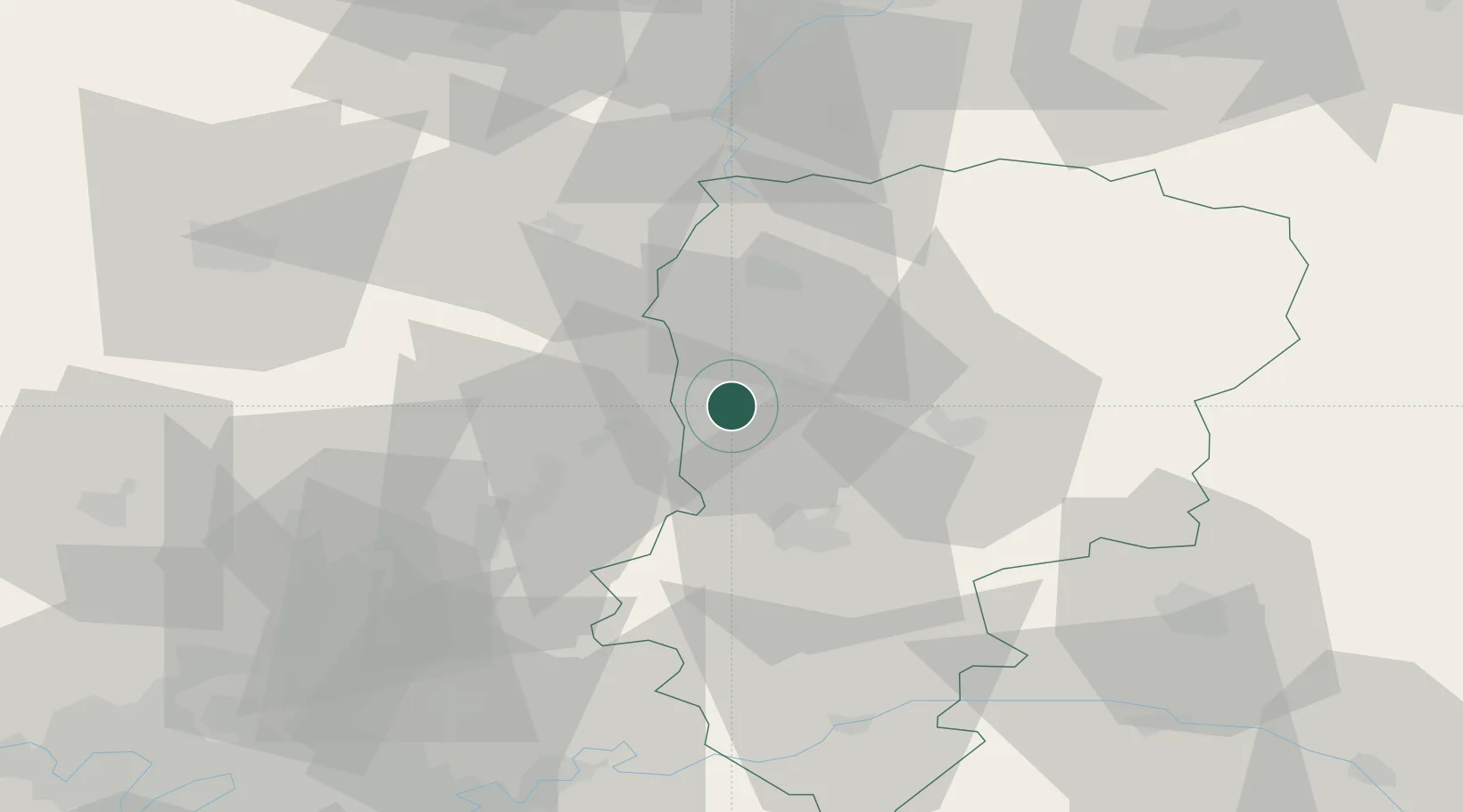
Populated place
Region
Hauts-de-France
Population
13,176
Time zone
Europe/Paris
Elevation
49 m
Location
Nearby Logistics Neighbours
Cities
- 1Tergnier6 km
- 2Varesnes13 km
- 3Achery14 km
- 4Saint-Simon15 km
- 5Épagny17 km
Ports
- 1Saint-Valery-Sur-Somme131 km
- 2Le Treport142 km
- 3Port Of Rouen156 km
- 4Dieppe157 km
- 5Bruxelles161 km
Airports
- 1Péronne Saint-Quentin Airfield31 km
- 2Creil Air Base65 km
- 3Amiens Glisy Airfield66 km
- 4Valenciennes-Denain Airfield81 km
- 5Beauvais-Tillé airport82 km
Trade Zones
- 1ZFU Le Vermandois Vermand, Fayet, Artois, Champagne26 km
- 2ZFU Presles, Chevreux28 km
- 3ZFU Reims69 km
- 4ZFU Creil et Montataire70 km
- 5ZFU Meaux77 km
DatabookThe Record of Consolidated Knowledge
France beyond logistics?