Transport Functions
Rail
Road
Hub Profile
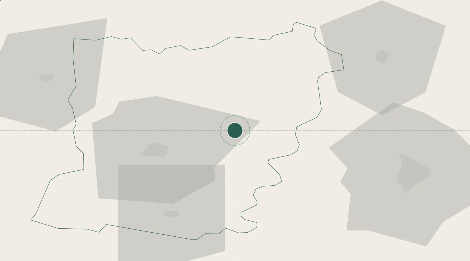
Place type
Populated place
Region
Pays de la Loire
Population
746
Time zone
Europe/Paris
Elevation
89 m
Location
Nearby Logistics Neighbours
Ports
- 1Granville113 km
- 2Port De Caen115 km
- 3Ouistreham127 km
- 4Saint-Malo127 km
- 5Nantes134 km
Airports
- 1Laval-Entrammes Airport24 km
- 2Le Mans-Arnage Airport55 km
- 3Angers Marcé airport67 km
- 4Rennes-Saint-Jacques Airport95 km
- 5Caen Carpiquet airport114 km
Trade Zones
- 1ZFU Le Mans48 km
- 2ZFU Alençon51 km
- 3ZFU Angers75 km
- 4ZFU La Guérinière, La Grâce de Dieu115 km
- 5ZFU Hérouville-Saint-Clair118 km
DatabookThe Record of Consolidated Knowledge
France beyond logistics?