Transport Functions
Multimodal
Hub Profile
Place type
Populated place
Region
Pays de la Loire
Population
731
Time zone
Europe/Paris
Elevation
49 m
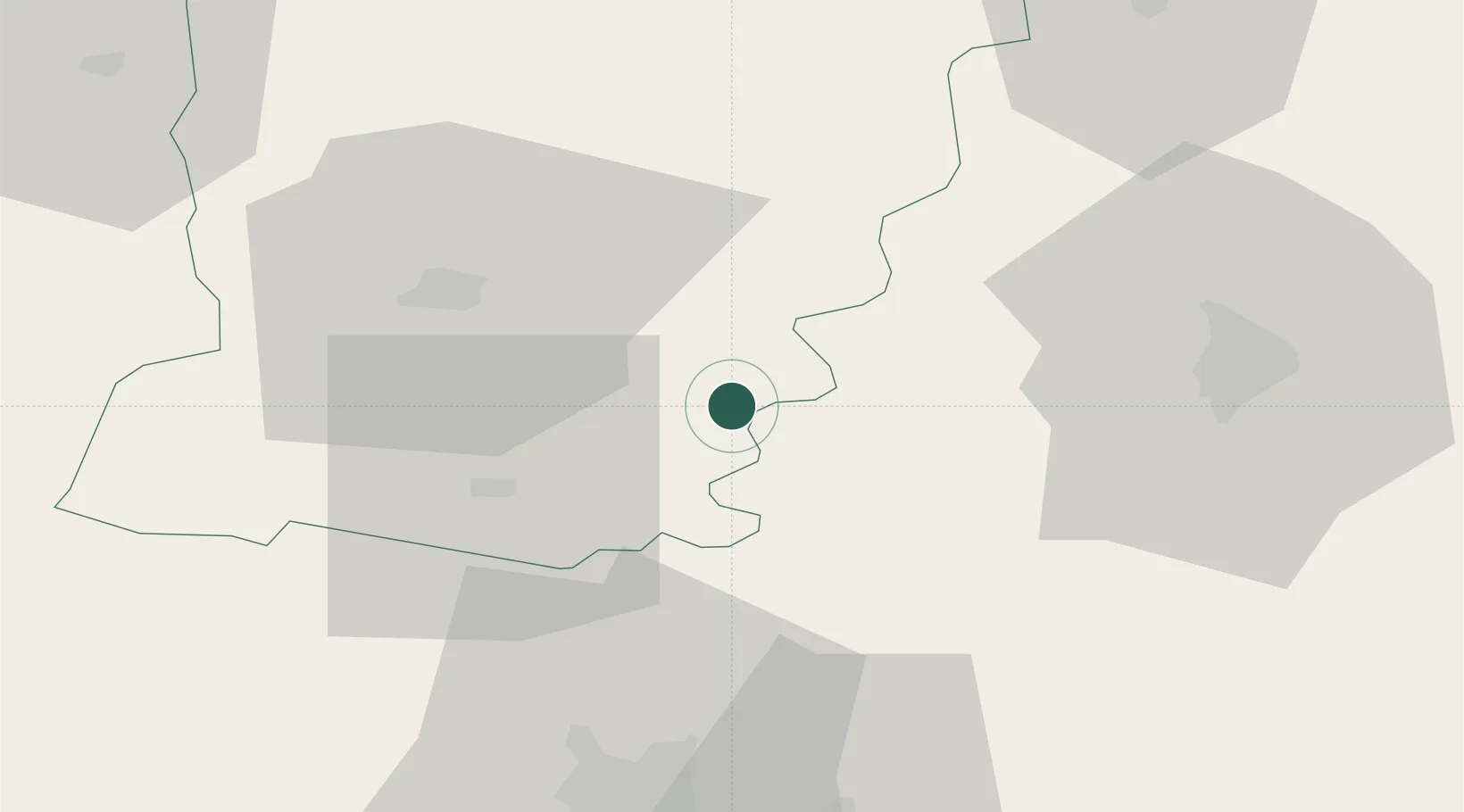
Location
Nearby Logistics Neighbours
Cities
- 1Beaumont-Pied-de-Buf4 km
- 2Solesmes13 km
- 3Fougere18 km
- 4Louailles19 km
- 5Parcé-sur-Sarthe20 km
Ports
- 1Nantes119 km
- 2Granville133 km
- 3Port De Caen139 km
- 4Donges142 km
- 5Saint-Malo143 km
Airports
- 1Laval-Entrammes Airport27 km
- 2Angers Marcé airport42 km
- 3Le Mans-Arnage Airport46 km
- 4Rennes-Saint-Jacques Airport99 km
- 5Tours Val de Loire Airport102 km
Trade Zones
- 1ZFU Le Mans41 km
- 2ZFU Angers52 km
- 3ZFU Alençon66 km
- 4ZFU Nantes et Saint-Herblain124 km
- 5ZFU Blois132 km
DatabookThe Record of Consolidated Knowledge
France beyond logistics?