Transport Functions
Multimodal
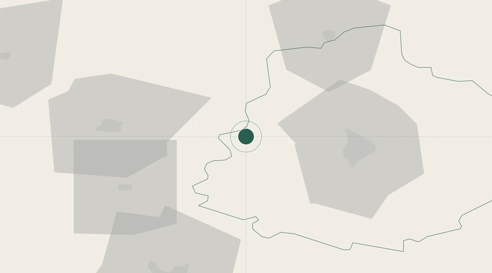
Hub Profile
Place type
Populated place
Region
Pays de la Loire
Population
750
Time zone
Europe/Paris
Elevation
33 m
Location
Nearby Logistics Neighbours
Cities
- 1Bernay13 km
- 2Brains-sur-Gée15 km
- 3Ballée18 km
- 4Solesmes21 km
- 5Beaumont-Pied-de-Buf21 km
Ports
- 1Port De Caen128 km
- 2Granville135 km
- 3Nantes136 km
- 4Ouistreham139 km
- 5Saint-Malo149 km
Airports
- 1Le Mans-Arnage Airport34 km
- 2Laval-Entrammes Airport38 km
- 3Angers Marcé airport53 km
- 4Tours Val de Loire Airport98 km
- 5Rennes-Saint-Jacques Airport112 km
Trade Zones
- 1ZFU Le Mans27 km
- 2ZFU Alençon50 km
- 3ZFU Angers67 km
- 4ZFU Blois123 km
- 5ZFU La Guérinière, La Grâce de Dieu129 km
DatabookThe Record of Consolidated Knowledge
France beyond logistics?