UN/LOCODE hub · France
FRXAI

Blain

47.4833°, -1.7500°
8,274
Population
1
Transport functions

Transport Functions

Multimodal
UN/LOCODE

Hub Profile

Place type
Populated place
GeoNames
Region
Pays de la Loire
GeoNames
Population
8,274
GeoNames
Time zone
Europe/Paris
GeoNames
Elevation
26 m
GeoNames

Location

Location of FRXAI
Natural Earth 10m (public domain) · Pays de la Loire · FRXAI · 47.48, -1.75GoogleOSMYandex

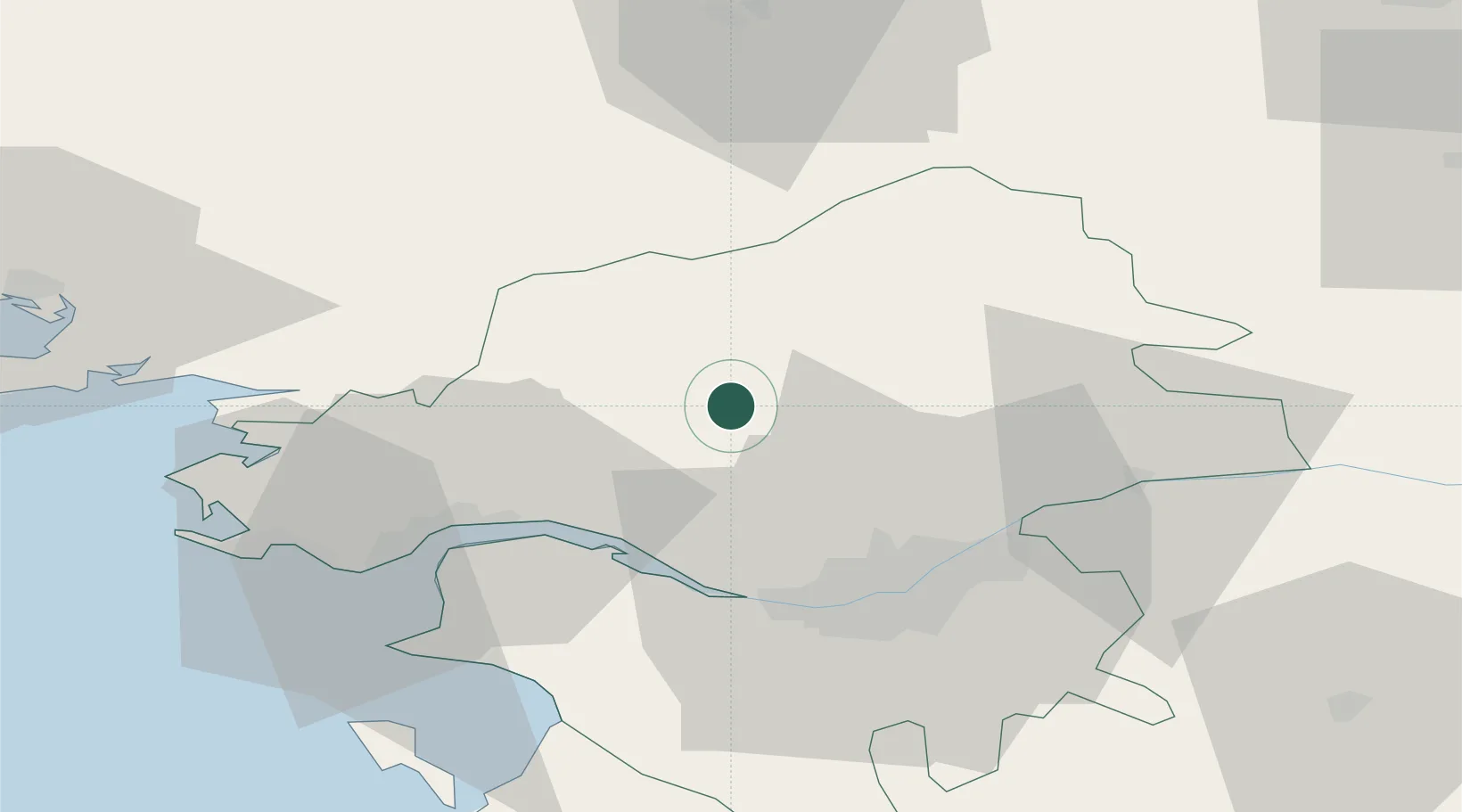
Nearby Logistics Neighbours

Cities
  1. 1Fay-de-Bretagne8 km
  2. 2Puceul11 km
  3. 3Plessé12 km
  4. 4Nozay13 km
  5. 5Guenrouet17 km
Nearest neighbours — logibook spatial index (haversine) over the source coordinates
Ports
  1. 1Donges31 km
  2. 2Nantes34 km
  3. 3Montoir35 km
  4. 4St Nazaire41 km
  5. 5Les Sables D' Olonne109 km
Nearest neighbours — logibook spatial index (haversine) over the source coordinates
Airports
  1. 1Saint-Nazaire-Montoir Airport36 km
  2. 2Nantes Atlantique Airport38 km
  3. 3La Baule-Escoublac Airport50 km
  4. 4Rennes-Saint-Jacques Airport65 km
  5. 5Beauvoir Fromentine Airfield71 km
Nearest neighbours — logibook spatial index (haversine) over the source coordinates
Trade Zones
  1. 1ZFU Nantes et Saint-Herblain29 km
  2. 2ZFU Saint-Nazaire46 km
  3. 3ZFU Angers87 km
  4. 4ZFU Le Mans151 km
  5. 5ZFU La Rochelle153 km
Nearest neighbours — logibook spatial index (haversine) over the source coordinates
DatabookThe Record of Consolidated Knowledge
France beyond logistics?
Browse databook

All Sources

LocationsUN/LOCODE
UN/LOCODE — free
LocationsGeoNames
CC BY 4.0
Portsthe NGA World Port Index
Public domain (US gov)
AirportsOurAirports
Public domain
Trade Zonesthe World Bank SEZ database
CC BY 4.0
Trade ZonesOpen Zone Map
CC BY
← France locations